Lewisburg in Union County, Pennsylvania — The American Northeast (Mid-Atlantic)
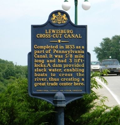
Lewisburg Cross-Cut Canal
Erected 1955 by Pennsylvania Historical and Museum Commission.
Topics and series. This historical marker is listed in these topic lists: Industry & Commerce • Man-Made Features. In addition, it is included in the Pennsylvania Canal, and the Pennsylvania Historical and Museum Commission series lists. A significant historical year for this entry is 1833.
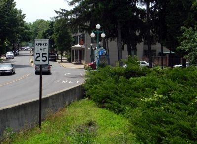
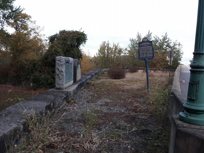
Location. 40° 57.993′ N, 76° 52.869′ W. Marker is in Lewisburg, Pennsylvania, in Union County. Marker is at the intersection of Market Street (Pennsylvania Route 45) and North Water Street, on the right when traveling east on Market Street. The marker is located on the north side of the Market Street Bridge,on the embankment supporting the bridge. Touch for map. Marker is in this post office area: Lewisburg PA 17837, United States of America. Touch for directions.
Other nearby markers. At least 8 other markers are within walking distance of this marker. In Honor of Ludwig Derr (a few steps from this marker); Lewisburg (within shouting distance of this marker); Soldiers' Memorial Park (within shouting distance of this marker); Lewisburg World War Veterans Memorial (within shouting distance of this marker); General Tasker H. Bliss (approx. 0.2 miles away); Catholic Chapel (approx. 0.2 miles away); Union County (approx. ¼ mile away); St. Anthony Street Bridge (approx. ¼ mile away). Touch for a list and map of all markers in Lewisburg.
Credits. This page was last revised on January 1, 2021. It was originally submitted on June 12, 2011, by PaulwC3 of Northern, Virginia. This page has been viewed 1,034 times since then and 48 times this year. Photos: 1, 2. submitted on June 12, 2011, by PaulwC3 of Northern, Virginia. 3. submitted on December 26, 2020, by Craig Doda of Napoleon, Ohio.
Editor’s want-list for this marker. Pics of the remains of the Cross-cut Canal: "It is still visible just west of the trail park west of Montandon; the linear depression that crosses Rt. 45 by the last row of trees. Lewisburg immediately linked up with a "cross-cut canal" running the mile from Montandon along the current path of Rt. 45. In the river are the remnants of the slack water dam just south (right .. downstream) of the Water St. corner, extending all the way across the river and visible only in low water." • Can you help?


