La Vale in Allegany County, Maryland — The American Northeast (Mid-Atlantic)
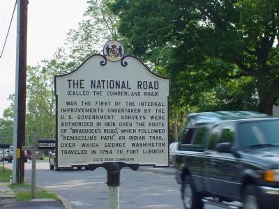
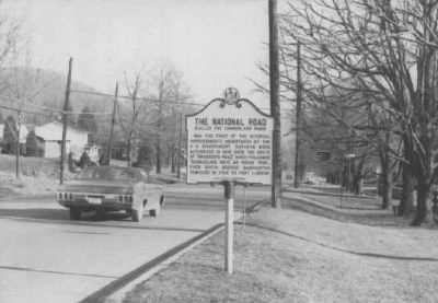
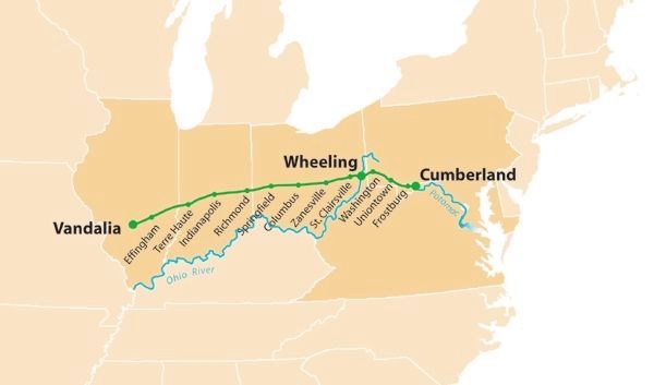
The National Road
(Called The Cumberland Road)
Erected by the State Roads Commission.
Topics and series. This historical marker is listed in this topic list: Roads & Vehicles. In addition, it is included in the Maryland Historical Trust, and the The Historic National Road series lists. A significant historical year for this entry is 1806.
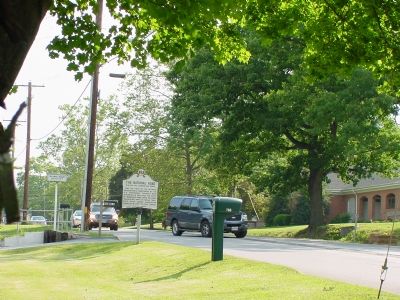
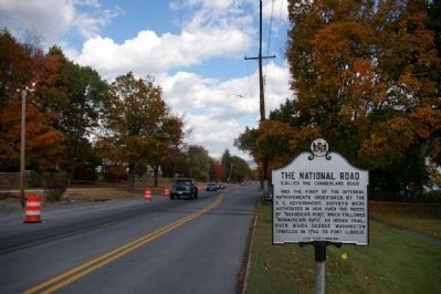
Location. 39° 38.954′ N, 78° 49.039′ W. Marker is in La Vale, Maryland, in Allegany County. Marker is on National Highway (Alternate U.S. 40) west of Mary Court, on the left when traveling west. Touch for map. Marker is at or near this postal address: 772 National Hwy, Cumberland MD 21502, United States of America. Touch for directions.
Other nearby markers. At least 8 other markers are within 2 miles of this marker, measured as the crow flies. Veterans Memorial (approx. 0.9 miles away); a different marker also named Veterans Memorial (approx. 0.9 miles away); Veterans Marker (approx. one mile away); “Spendelow Camp” (approx. 1.3 miles away); Picket Post No. 1 (approx. 1.4 miles away); "Braddock's Road" (approx. 1.8 miles away); The First Iron Rails (approx. 1.9 miles away); First Toll Gate House (approx. 2 miles away). Touch for a list and map of all markers in La Vale.
Also see . . . National Road. Wikipedia entry (Submitted on January 22, 2021, by Larry Gertner of New York, New York.)
Credits. This page was last revised on February 20, 2021. It was originally submitted on July 20, 2006, by J. J. Prats of Powell, Ohio. This page has been viewed 2,522 times since then and 24 times this year. Last updated on February 19, 2021, by Carl Gordon Moore Jr. of North East, Maryland. Photos: 1, 2. submitted on July 20, 2006, by J. J. Prats of Powell, Ohio. 3. submitted on March 3, 2008, by Christopher Busta-Peck of Shaker Heights, Ohio. 4. submitted on March 6, 2008, by Christopher Busta-Peck of Shaker Heights, Ohio. 5. submitted on January 22, 2021, by Larry Gertner of New York, New York. • J. Makali Bruton was the editor who published this page.
