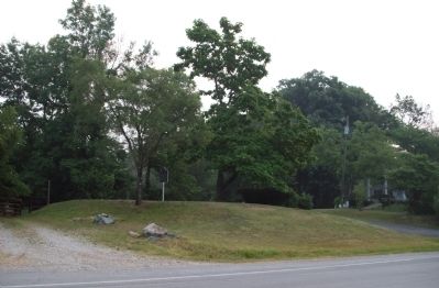
Southeast Warren near Indianapolis in Marion County, Indiana — The American Midwest (Great Lakes)
Brookville Road
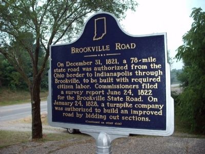
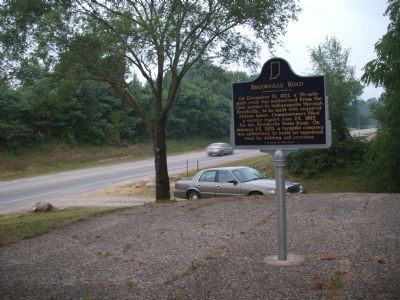
On December 31, 1821, a 78-mile state road was authorized from the Ohio border to Indianapolis through Brookville, to be built with required citizen labor. Commissioners filed a survey report June 24, 1822 for the Brookville State Road. On January 24, 1828, a turnpike company was authorized to build an improved road by bidding out sections.
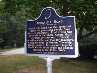
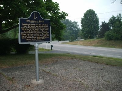
Brookville Road was the principal route for goods and people from here to Cincinnati. Road travel was difficult in the 1800s, taking days to reach destinations. Taverns provided shelter and food for travelers. Along the road in Warren Township, Marion County, taverns were kept by David Woods in the 1820s and Nathan Harlan in the 1830s - 1840s.
Erected 2004 by Indiana Historical Bureau, Environmental Law & Policy Center of The Midwest, and Southeast Civic Association. (Marker Number 49.2004.1.)
Topics and series. This historical marker is listed in these topic lists: Industry & Commerce • Roads & Vehicles • Settlements & Settlers. In addition, it is included in the Indiana Historical Bureau Markers series list. A significant historical date for this entry is January 24, 1828.
Location. 39° 44.373′ N, 85° 58.687′ W. Marker is near Indianapolis, Indiana, in Marion County. It is in Southeast Warren. Marker is on Brookville Road (U.S. 52) east of Whispering Drive, on the left when traveling east. Located at a nice 'pull-off'. Best to park behind the marker to have better walking to it. (Thus avoiding a steep hill.). Touch for map. Marker is at or near this postal address: 10622 Brookville Road, Indianapolis IN 46239, United States of America. Touch for directions.
Other nearby markers. At least 8 other markers are within 6 miles of this marker, measured as the crow flies. New Bethel (approx. 4 miles away); Gallaudet Station: The Town That Never Happened (approx. 4.2 miles away); Kile Oak (approx. 4.9 miles away); Washington Irving (approx. 5.2 miles away); Grace Julian Clarke (approx. 5.3 miles away); Marion County Girl Scouts (approx. 5.4 miles away); Historic National Road (approx. 5.4 miles away); Sigma Gamma Rho (approx. 5.6 miles away). Touch for a list and map of all markers in Indianapolis.
Credits. This page was last revised on June 1, 2023. It was originally submitted on July 18, 2011, by Al Wolf of Veedersburg, Indiana. This page has been viewed 736 times since then and 41 times this year. Photos: 1, 2, 3, 4, 5. submitted on July 18, 2011, by Al Wolf of Veedersburg, Indiana. • Bill Pfingsten was the editor who published this page.
