Marker Logo HMdb.org THE HISTORICAL
MARKER DATABASE
“Bite-Size Bits of Local, National, and Global History”
Near Truth or Consequences in Sierra County, New Mexico — The American Mountains (Southwest)
 

Elephant Butte Dam


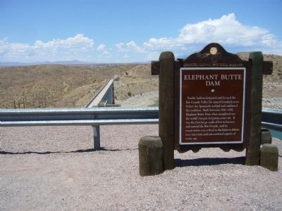
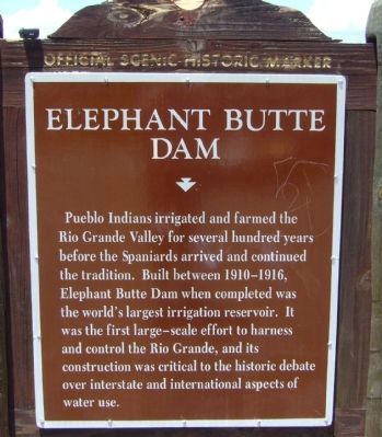
Elephant Butte Dam Marker image. Click for full size.
Photographed By Bill Kirchner, July 21, 2011
1. Elephant Butte Dam Marker
Inscription. Pueblo Indians irrigated and farmed the Rio Grande Valley for several hundred years before the Spaniards arrived and continued the tradition. Built between 1910-1916, Elephant Butte Dam when completed was the world's largest irrigation reservoir. It was the first large-scale effort to harness and control the Rio Grande, and its construction was critical to the historic debate over interstate and international aspects of water use.
 
Erected by New Mexico Historic Preservation Division.
 
Topics and series. This historical marker is listed in this topic list: Waterways & Vessels. In addition, it is included in the ASCE Civil Engineering Landmarks series list.
 
Location. 33° 9.158′ N, 107° 11.432′ W. Marker is near Truth or Consequences, New Mexico, in Sierra County. Marker is at the intersection of State Road 177 and State Road 51, on the left when traveling east on State Road 177. Marker is at a pullout overlooking the south end of the dam. Touch for map. Marker is in this post office area: Truth or Consequences NM 87901, United States of America. Touch for directions.
 
Other nearby markers. At least 7 other markers are within 16 miles of this marker, measured as the crow flies. Fort McRae 1863-1876 (approx. 2.1 miles away); Truth or Consequences (approx. 3.4 miles away); Elephant Butte Lake State Park
Paid Advertisement
Click on the ad for more information.
Please report objectionable advertising to the Editor.
Click or scan to see
this page online
(approx. 3.7 miles away); Magnolia Ellis, “Magnificent Magnolia” (approx. 3.8 miles away); a different marker also named Truth or Consequences (approx. 6 miles away); Jornada del Muerto (approx. 8½ miles away); Caballo Mountains (approx. 15½ miles away).
 
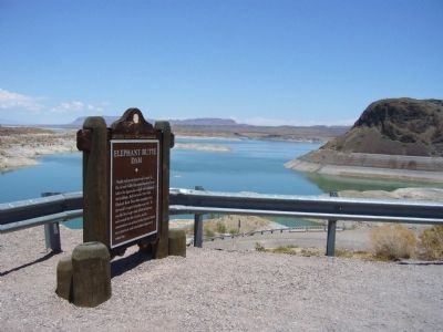
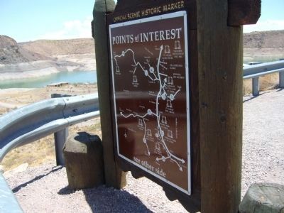
Rear of Elephant Butte Dam Marker image. Click for full size.
Photographed By Bill Kirchner, July 21, 2011
2. Rear of Elephant Butte Dam Marker
Elephant Butte Dam Marker image. Click for full size.
Photographed By Bill Kirchner, July 21, 2011
3. Elephant Butte Dam Marker
Elephant Butte Dam Marker image. Click for full size.
Photographed By Bill Kirchner, July 21, 2011
4. Elephant Butte Dam Marker
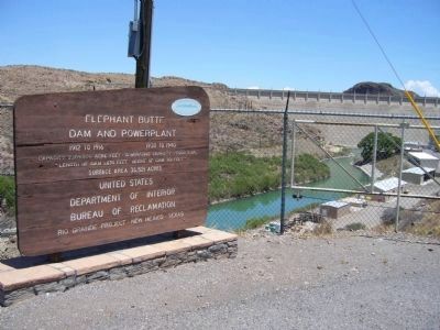
Elephant Butte Dam and Powerplant image. Click for full size.
Photographed By Bill Kirchner, July 21, 2011
5. Elephant Butte Dam and Powerplant
1912 to 1916 -- 1938 to 1940
Capacity 2,109,000 acre feet - Height of dam 301 feet
Surface area 36,521 acres
United States
Department of the Interior
Bureau of Reclamation
Rio Grande Project - New Mexico - Texas
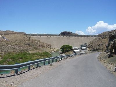
Elephant Butte Dam image. Click for full size.
Photographed By Bill Kirchner, July 21, 2011
6. Elephant Butte Dam
Elephant Butte Dam Marker image. Click for full size.
cmh2315fl via Flickr (CC BY-NC 2.0), December 27, 2015
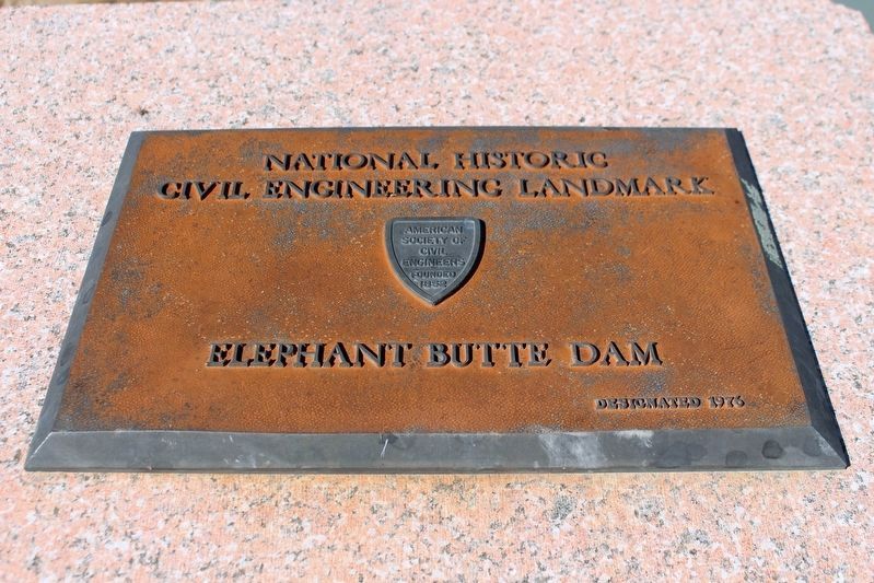
7. Elephant Butte Dam Marker
National Historical Civil Engineering Landmark Marker
 
 
Credits. This page was last revised on April 29, 2022. It was originally submitted on July 27, 2011, by Bill Kirchner of Tucson, Arizona. This page has been viewed 721 times since then and 29 times this year. Photos:   1, 2, 3, 4, 5, 6. submitted on July 27, 2011, by Bill Kirchner of Tucson, Arizona.   7. submitted on April 27, 2022, by Duane and Tracy Marsteller of Murfreesboro, Tennessee. • Syd Whittle was the editor who published this page.
Share this page.  
Share on Tumblr
m=45125

CeraNet Cloud Computing sponsors the Historical Marker Database.
This website earns income from purchases you make after using our links to Amazon.com. We appreciate your support.
Paid Advertisement
May. 10, 2024