Near Santa Fe in Santa Fe County, New Mexico — The American Mountains (Southwest)
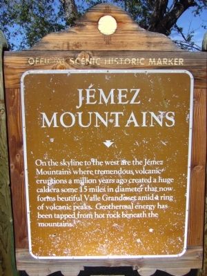
Jémez Mountains
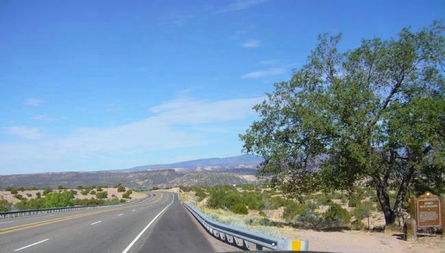
On the skyline to the west are the Jémez Mountains where tremendous volcanic eruptions a million years ago created a huge caldera some 15 miles in diameter that now forms beautiful Valle Grande set amid a ring of volcanic peaks. Geothermal energy has been tapped from hot rock beneath the mountains.
(side two)
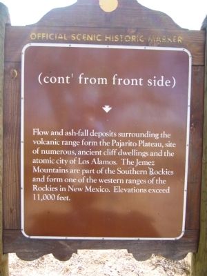
(cont' from front side)
Flow and ash-fall deposits surrounding the volcanic range form the Pajarito Plateau, site of numerous, ancient cliff dwellings and the atomic city of Los Alamos. The Jémez Mountains are part of the Southern Rockies and form one of the western ranges of the Rockies in New Mexico. Elevations exceed 11,000 feet.
Topics. This historical marker is listed in this topic list: Environment.
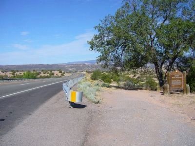
Location. 35° 53.165′ N, 106° 6.125′ W. Marker is near Santa Fe, New Mexico, in Santa Fe County. Marker is on State Road 502 at milepost 13.5,, 0.9 miles east of Povi Kaa Drive, on the right when traveling west. Touch for map. Marker is in this post office area: Santa Fe NM 87506, United States of America. Touch for directions.
Other nearby markers. At least 8 other markers are within 8 miles of this marker, measured as the crow flies. Maria Montoya Martinez, (Povika, Pond Lily) (approx. 0.9 miles away); Pueblo of San Ildefonso (approx. 0.9 miles away); Feliciana Tapia Viarrial (1904-1988) (approx. 5.1 miles away); Pueblo of Santa Clara (approx. 5.9 miles away); Pablita Velarde, Tse Tsan, Golden Dawn (approx. 5.9 miles away); The St. Francis Women's Club (approx. 7.3 miles away); The Bond House (approx. 7.4 miles away); Senator Clinton P. Anderson Scenic Route (approx. 7.4 miles away).
Credits. This page was last revised on June 16, 2016. It was originally submitted on August 5, 2011, by Bill Kirchner of Tucson, Arizona. This page has been viewed 556 times since then and 21 times this year. Photos: 1, 2, 3, 4. submitted on August 5, 2011, by Bill Kirchner of Tucson, Arizona. • Bernard Fisher was the editor who published this page.


