Perryville in Boyle County, Kentucky — The American South (East South Central)
Donelson's Attack
Perryville • The Battle For Kentucky
— October 8, 1862 —
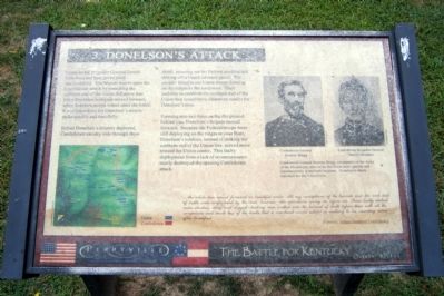
Confederate Brigadier General Daniel Donelson had been given great responsibility. His brigade was to open the Confederate attack by assaulting the northern end of the Union defensive line. Once Donelson’s brigade moved forward, other Southern troops would enter the battle. It was imperative for Donelson’s men to strike quickly and forcefully.
Before Donelson’s infantry deployed, Confederate cavalry rode through these fields, scouting out the Federal position and driving off a Union advance guard. The cavalry failed to see Union troops forming on the ridges to the northwest. Their inability to establish the northern end of the Union line would have disastrous results for Donelson’s men.
Forming into two lines on the flat ground behind you, Donelson’s brigade moved forward. Because the Federal troops were still deploying on the ridges to your front, Donelson’s soldiers, instead of striking the northern end of the Union line, moved more toward the Union center. This faulty deployment from a lack of reconnaissance nearly destroyed the opening Confederate attack.
…the whole line moved forward in beautiful order. All my conceptions of the hurrah and din and dust of battle were confounded by the cool, business-like operations going on before me. Those badly clothed, some shoeless, dirty and ragged-looking men walked into the harvest of death before them with all the composure and much less of the bustle that a merchant would exhibit in walking to his counting room after breakfast.
Reporter, Atlanta Southern Confederacy
Topics. This historical marker is listed in this topic list: War, US Civil. A significant historical date for this entry is October 8, 1862.
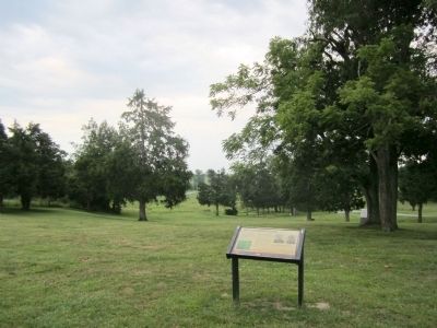
Location. This marker has been replaced by another marker nearby. It was located near 37° 40.519′ N, 84° 58.026′ W. Marker was in Perryville, Kentucky, in Boyle County. Marker was on Park Road east of Battlefield Road. Located in Perryville Battlefield State Historic Site. Touch for map. Marker was at or near this postal address: 1825 Battlefield Road, Perryville KY 40468, United States of America. Touch for directions.
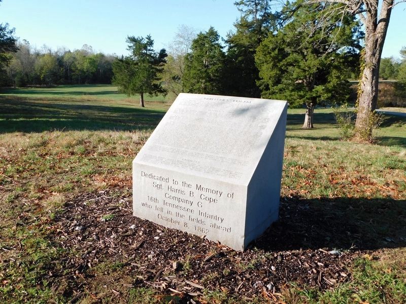
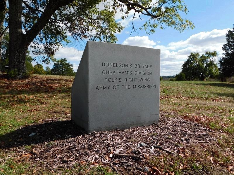
Other nearby markers. At least 8 other markers are within walking distance of this location. The Opening Attack (within shouting distance of this marker); Sgt. Harris B. Cope Memorial (within shouting distance of this marker); Stewart's Advance (about 700 feet away, measured in a direct line); Army of the Mississippi (approx. 0.2 miles away); Introduction (approx. 0.2 miles away); Donelson's Advance (approx. 0.2 miles away); The Valley of Death (approx. 0.2 miles away); Soldiers' Reaction to Lincoln's Emancipation (approx. 0.2 miles away). Touch for a list and map of all markers in Perryville.
More about this marker. On the upper right are portraits of “Confederate General Braxton Bragg” and Confederate Brigadier General Daniel Donelson” with the caption, “Confederate General Braxton Bragg, commander of the Army of the Mississippi, tried to hit the Union army quickly and simultaneously in multiple locations. Donelson’s attack launched the day’s hostilities.”
Related marker. Click here for another marker that is related to this marker. New Marker At This Location titled "The Opening Attack"
Credits. This page was last revised on October 8, 2023. It was originally submitted on August 23, 2011, by Bernard Fisher of Richmond, Virginia. This page has been viewed 735 times since then and 24 times this year. Photos: 1, 2. submitted on August 23, 2011, by Bernard Fisher of Richmond, Virginia. 3, 4. submitted on February 28, 2021, by Bradley Owen of Morgantown, West Virginia.


