Near Port Wentworth in Chatham County, Georgia — The American South (South Atlantic)
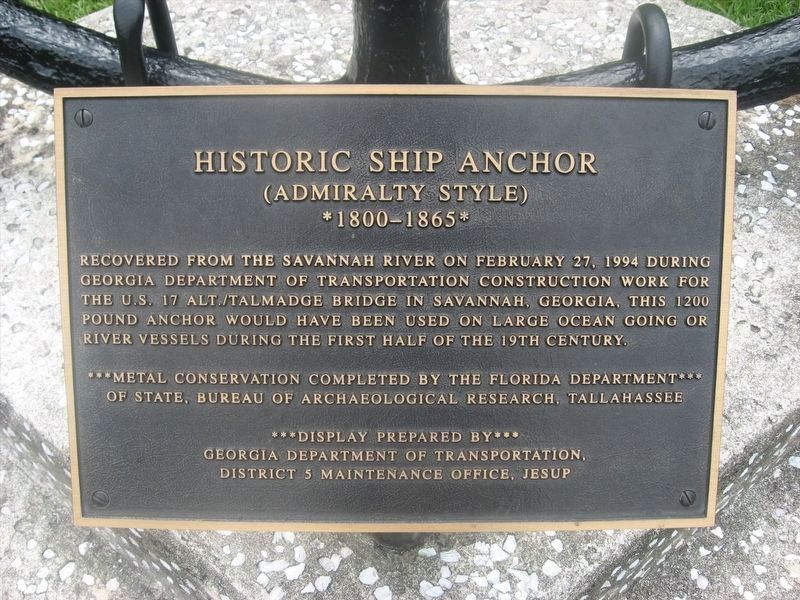
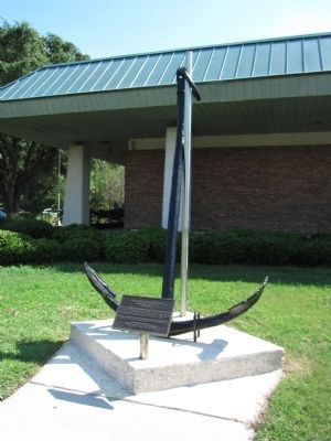
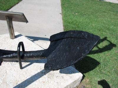
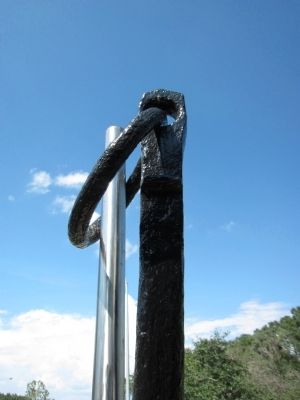
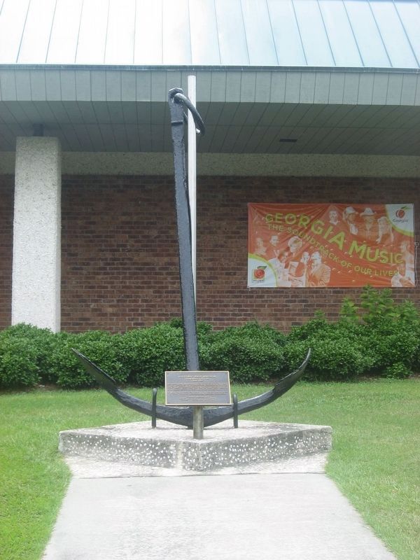
Historic Ship Anchor
(Admiralty Style)
— *1800-1865* —
** Metal conservation completed by the Florida Department of State, Bureau of Archaeological Research, Tallahassee
Erected by Georgia Department of Transportation, District 5 Maintenance Office, Jesup.
Topics. This historical marker is listed in this topic list: Waterways & Vessels. A significant historical month for this entry is February 1808.
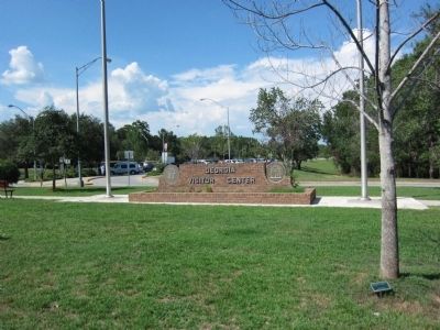
Location. 32° 13.012′ N, 81° 10.461′ W. Marker is near Port Wentworth, Georgia, in Chatham County. Marker is on Interstate 95, on the right when traveling south. Located at the southbound rest-stop and visitor center just south of the Georgia-South Carolina state line. Touch for map. Marker is in this post office area: Port Wentworth GA 31407, United States of America. Touch for directions.
Other nearby markers. At least 8 other markers are within 4 miles of this marker, measured as the crow flies. Houston Baptist Church (approx. 1.6 miles away); Richmond Baptist Church (approx. 1.8 miles away); The Village of Abercorn (approx. 2 miles away); Washington's Southern Tour (approx. 2.6 miles away); Mulberry Grove Plantation (approx. 2.6 miles away); Goshen Church (approx. 3.2 miles away); Atlantic Coastal Highway Through Georgia (approx. 3.7 miles away); Savannah River Plantations (approx. 3.8 miles away). Touch for a list and map of all markers in Port Wentworth.
Credits. This page was last revised on January 12, 2024. It was originally submitted on August 27, 2011, by Craig Swain of Leesburg, Virginia. This page has been viewed 865 times since then and 39 times this year. Photos: 1. submitted on January 12, 2024, by Adam Margolis of Mission Viejo, California. 2, 3, 4, 5, 6. submitted on August 27, 2011, by Craig Swain of Leesburg, Virginia. 7. submitted on January 12, 2024, by Adam Margolis of Mission Viejo, California.
