Town of Russell in Bayfield County, Wisconsin — The American Midwest (Great Lakes)
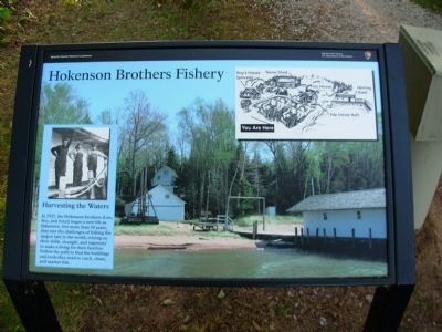
Hokenson Brothers Fishery
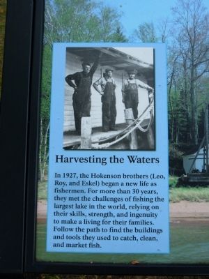
Harvesting the Waters
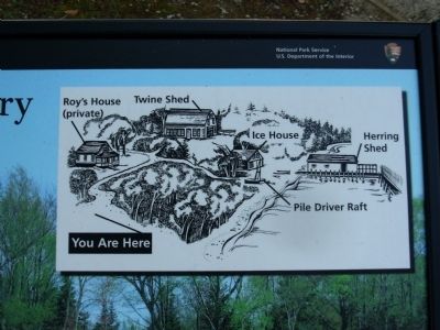
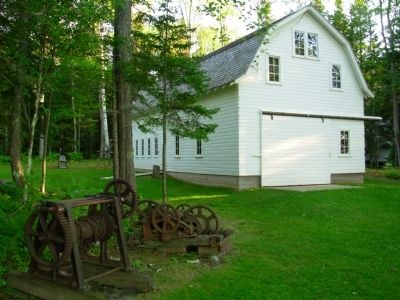
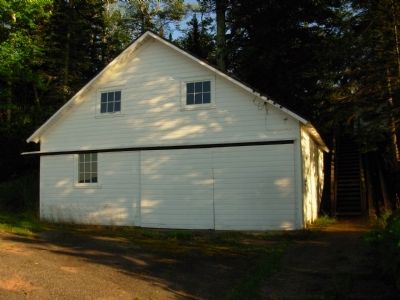
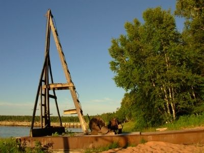
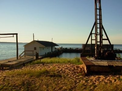
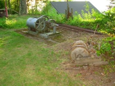
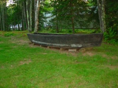
In 1927, the Hokenson brothers (Leo, Roy, and Eskel) began life as fishermen. For more than 30 years, they met the challenges of fishing the largest lake in the world, relying on their skills, strength, and ingenuity to make a living for their families. Follow the path to find the buildings and tools they used to catch, clean, and market fish.
Erected by Apostle Islands National Lakeshore.
Topics. This historical marker is listed in these topic lists: Industry & Commerce • Waterways & Vessels. A significant historical year for this entry is 1927.
Location. 46° 56.79′ N, 90° 53.413′ W. Marker is in Town of Russell, Wisconsin, in Bayfield County. Marker is on Little Sand Bay Road, half a mile west of Allen Road. Little Sand Bay Park, Apostle Islands National Lakeshore, in the parking lot at the end of Little Sand Bay Road. Touch for map. Marker is at or near this postal address: 32660 Little Sand Bay Road, Bayfield WI 54814, United States of America. Touch for directions.
Other nearby markers. At least 8 other markers are within 11 miles of this marker, measured as the crow flies. Steamer Sevona (within shouting distance of this marker); The Twilight Fishermen (within shouting distance of this marker); Cultural Fire Returns to Stockton Island (approx. 9.8 miles away); Bayfield Historic Waterfront (approx. 10 miles away); The Booth Cooperage (approx. 10 miles away); Memorial to Commercial Fishermen of Bayfield (approx. 10 miles away); Schooner Pretoria (approx. 10.2 miles away); A Turning Point in Place and Time (approx. 10.2 miles away).
Also see . . . Apostle Islands National Lakeshore. (Submitted on September 8, 2011, by Bernard Fisher of Richmond, Virginia.)
Credits. This page was last revised on June 16, 2016. It was originally submitted on September 7, 2011, by Paul Fehrenbach of Germantown, Wisconsin. This page has been viewed 788 times since then and 14 times this year. Photos: 1, 2, 3, 4, 5, 6, 7, 8, 9, 10. submitted on September 7, 2011, by Paul Fehrenbach of Germantown, Wisconsin. • Bernard Fisher was the editor who published this page.
