Newport in Newport County, Rhode Island — The American Northeast (New England)
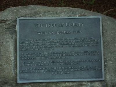
The Tree of Liberty
William Ellery Park
To commemorate the repeal of the Stamp Act in March 1766, William Read deeded a small triangle of land at this site where grew the original Tree of Liberty, to William Ellery and others in trust. This tree was cut down by British occupation forces soon after their arrival on December 6, 1776.
A new tree was planted in April, 1783 by a group of thirteen citizens named on a copper plate placed on the tree in 1823 which is now in the Newport Historical Society Museum.
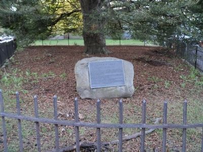
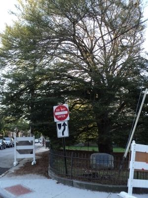
The present tree was planted in 1897 and rededicated in 1919 when Henrietta C. Ellery deeded this park to the city.
This memorial placed by the Rhode Island Society, Sons of the Revolution, to commemorate the 200th anniversary of the Tree of Liberty.
Erected 1966 by Sons of the Revolution - Rhode Island Society.
Topics and series. This historical marker is listed in these topic lists: Colonial Era • War, US Revolutionary. In addition, it is included in the Historic Trees series list. A significant historical month for this entry is March 1766.
Location. 41° 29.615′ N, 71° 18.929′ W. Marker is in Newport, Rhode Island, in Newport County. Marker is at the intersection of Poplar Street and Thames Street, on the right when traveling east on Poplar Street. Touch for map. Marker is in this post office area: Newport RI 02840, United States of America. Touch for directions.
Other nearby markers. At least 8 other markers are within walking distance of this marker. David Braman House (within shouting distance of this marker); Governor Gideon Wanton House (within shouting distance of this marker); John Stevens House (within shouting distance of this marker); William Stevens House (within shouting distance of this marker); 1 Elm Street (within shouting distance of this marker); Thomas Walker House (about 300 feet away, measured in a direct line); Sherburne-Nichols House (about 400 feet away); Newport Historic District (about 400 feet away). Touch for a list and map of all markers in Newport.
Credits. This page was last revised on June 16, 2016. It was originally submitted on October 10, 2011, by Bill Coughlin of Woodland Park, New Jersey. This page has been viewed 1,161 times since then and 33 times this year. Photos: 1, 2, 3. submitted on October 10, 2011, by Bill Coughlin of Woodland Park, New Jersey.


