Fort Mitchell in Russell County, Alabama — The American South (East South Central)
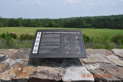
J.W. and Ethel I. Woodruff Foundation Interpretive Trail
Inscription.
Native plants played a significant role in the daily life of the Creek Indian civilization that inhabited the Chattahoochee Valley until relocation to Oklahoma in the 19th century. During the Woodland Period, the local inhabitants were skilled hunters and gatherers of native plants, nuts, and fruits. During the Mississippian Period (A.D. 700-1000) the Indian culture matured in its corn based agricultural practices and became less dependent upon readily available native trees and shrubs for survival.
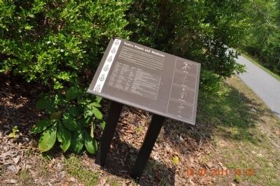
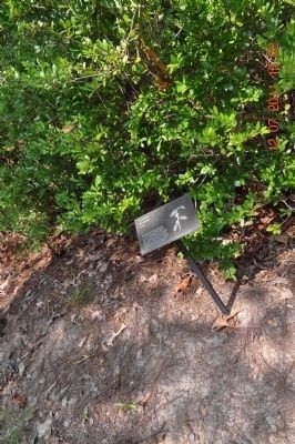
The purpose of the Interpretive Trail is to acquaint the visitor with the uses native plants in the daily life of the native americans. Three major topics of use are as medicine, food, and as household items. For example, yaupon holly (Ilex vomitoria) was valued for its quality as a purgative, useful in treating stomach disorders. The Creeks also made a strong black tea called A-cee from the leaves. This drink was consumed daily and by men on special ceremonial occasions. To the Creeks, A-cee was a powerful stimulant and medicine.
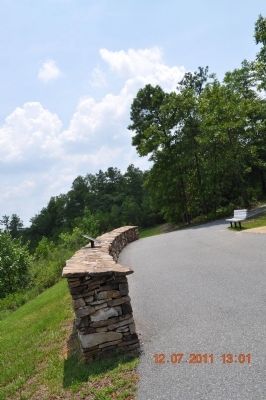
From this vantage point, looking east one overlooks the Chattahoochee River Valley landscape. Fort Benning Reservation is on the horizon; the stickball field is in the foreground.
This walking trail and Indian heritage interpretive exhibit is made possible through the generous support of the J.W. and Ethel I. Woodruff Foundation of Columbus, Georgia and the Alabama Department of Transportation.
Other Contributors to the interpretive trail include:
Russell County Commission
Chattahoochee Indian Heritage Association
Historic Chattahoochee Commission
Alabama Department of Transportation (ISTEA Grant Program)
Faith Birkhead, Illustrations
Captions:
Shagbark Hickory
American Chestnut
Buckeye
Sassafras
Erected by J.W. and Ethel I. Woodruff Foundation of Columbus, Ga and the Alabama Department of Transportation.
Topics. This historical marker is listed in this topic list: Native Americans.
Location. 32° 20.646′ N, 85° 1.259′ W. Marker is in Fort Mitchell, Alabama, in Russell County. Marker is on State Highway 165. Touch for map. Marker is at or near this postal address: 561 Highway 165, Fort Mitchell AL 36856, United States of America. Touch for directions.
Other nearby markers. At least 8 other markers are within walking distance of this marker. Indian Ball Ground (here, next to this marker); Pokkecheta, or the Ball Play (here, next to this marker); Fort Mitchell and Creek Removal (a few steps from this marker); Archaeology And Our Understanding of the Creek People (a few steps from this marker); The Census of 1832
(within shouting distance of this marker); The Creek Nation / The Chattahoochee Indian Heritage Center (within shouting distance of this marker); Cultural Exchange and Cooperation (within shouting distance of this marker); Creek Towns (within shouting distance of this marker). Touch for a list and map of all markers in Fort Mitchell.
Photographed By Sandra Hughes, July 12, 2011
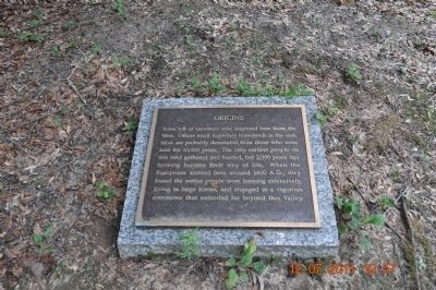
6. Origins Marker -at the Indian Heritage Center
Some tell of ancestors who migrated here from the West. Others recall legendary homelands in the east. Most are probably descended from those who were here for 10,000 years.
The very earliest people on this land gathered and hunted, but 2,000 years ago farming became their way of life. When the Europeans arrived here around 16000 A.D., they founded the native people were farming extensively, living in large towns, and engaged in a vigorous commerce that extended far beyond this Valley.
Photographed By Sandra Hughes, July 12, 2011
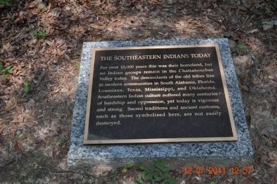
7. The Southeastern Indians Today
For over 10,000 years this was their homeland, but no Indian groups remain in the Chattahoochee Valley today. The descendants of the old tribes live in modern communities in South Alabama, Florida, Louisiana, Texas, Mississippi, and Oklahoma.
Southeastern Indian culture suffered many centuries of hardship and oppression, yet today is vigorous and strong. Sacred traditions and ancient customs, such as those symbolized here, are not easily destroyed.
Photographed By Sandra Hughes, July 12, 2011
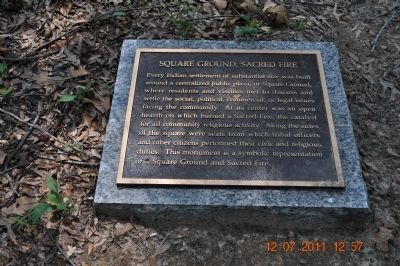
8. Square Ground, Sacred Fire
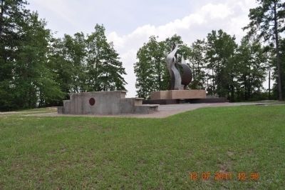
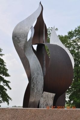
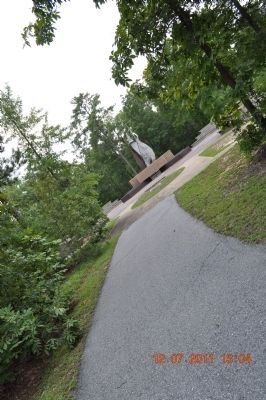
Every Indian Settlement of substantial size was built around a centralized public plaza, or Square Ground, where residents and visitors met to discuss and settle the social, political, commercial, or legal issues facing the community. At its center was an open hearth on which burned a Sacred Fire, the catalyst for all community religious activity. Along the sides of the square were seats from which tribal officers and other citizen performed their civic and religious duties. This monument is a symbolic representation of a Square Ground and Sacred Fire.
Credits. This page was last revised on July 10, 2018. It was originally submitted on October 11, 2011, by Sandra Hughes Tidwell of Killen, Alabama, USA. This page has been viewed 996 times since then and 29 times this year. Photos: 1, 2, 3, 4, 5, 6, 7, 8, 9, 10, 11, 12, 13. submitted on October 11, 2011, by Sandra Hughes Tidwell of Killen, Alabama, USA. • Craig Swain was the editor who published this page.
