Brightwood in Northwest Washington in Washington, District of Columbia — The American Northeast (Mid-Atlantic)
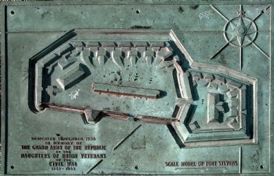
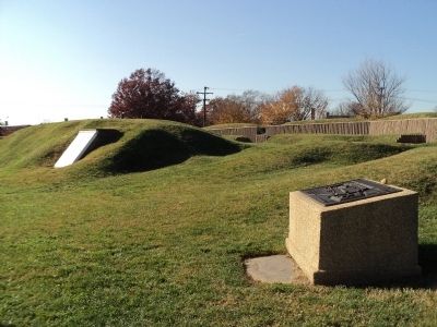
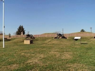
Scale Model of Fort Stevens
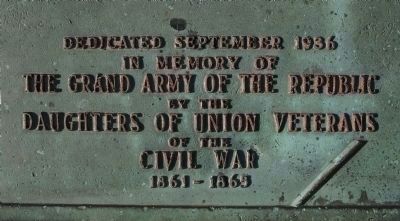
in memory of
The Grand Army of the Republic
by the
Daughters of Union Veterans
of the
Civil War
1861-1865
Erected 1936 by Daughters of Union Veterans of the Civil War.
Topics and series. This historical marker is listed in these topic lists: Forts and Castles • War, US Civil. In addition, it is included in the Defenses of Washington, and the The Grand Army of the Republic series lists. A significant historical year for this entry is 1936.
Location. 38° 57.866′ N, 77° 1.744′ W. Marker is in Northwest Washington in Washington, District of Columbia. It is in Brightwood. Marker is on Quackenbos Street Northwest near 13th Street Northwest, on the left when traveling east. Touch for map. Marker is at or near this postal address: 6001 13th Street Northwest, Washington DC 20011, United States of America. Touch for directions.
Other nearby markers. At least 8 other markers are within walking distance of this marker. Lincoln Under Fire at Fort Stevens (a few steps from this marker); Fort Stevens (a few steps from this marker); a different marker also named Fort Stevens (within shouting distance of this marker); “Get Down You Fool” (about 300 feet away, measured in a direct line); Aunt Betty's Story (about 300 feet away); The Rock on Brightwood Avenue (about 400 feet away); A Streetcar Named Brightwood (about 700 feet away); St. John United Baptist Church (approx. 0.2 miles away). Touch for a list and map of all markers in Northwest Washington.
Also see . . . Fort Stevens. Mr. Lincoln’s White House website. (Submitted on November 14, 2011, by Bill Coughlin of Woodland Park, New Jersey.)
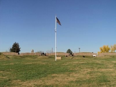
Photographed By Bill Coughlin, November 12, 2011
4. Fort Stevens
This fort was the site of the only battle during the Civil War to take place within the District of Columbia. On July 12, 1864, a Confederate Army under Gen. Jubal Early made the only serious attempt to enter Washington. During the battle President Abraham Lincoln, who came to observe the fighting, was fired upon by Confederate sharpshooters.
Credits. This page was last revised on January 30, 2023. It was originally submitted on November 14, 2011, by Bill Coughlin of Woodland Park, New Jersey. This page has been viewed 1,283 times since then and 32 times this year. Photos: 1. submitted on April 28, 2013, by Allen C. Browne of Silver Spring, Maryland. 2, 3, 4. submitted on November 14, 2011, by Bill Coughlin of Woodland Park, New Jersey. 5. submitted on April 28, 2013, by Allen C. Browne of Silver Spring, Maryland.
