Penn Township near Hanover in York County, Pennsylvania — The American Northeast (Mid-Atlantic)
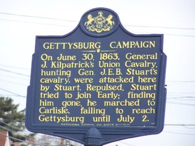
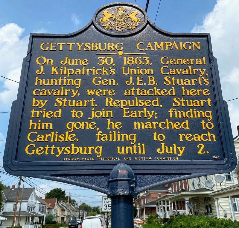
Gettysburg Campaign
Erected 1947 by Pennsylvania Historical and Museum Commission.
Topics and series. This historical marker is listed in this topic list: War, US Civil. In addition, it is included in the Gettysburg Campaign, and the Pennsylvania Historical and Museum Commission series lists. A significant historical date for this entry is June 30, 1863.
Location. 39° 47.601′ N, 76° 59.481′ W. Marker is near Hanover, Pennsylvania, in York County. It is in Penn Township. Marker is at the intersection of Frederick Street (Pennsylvania Route 194) and Stuart Avenue, on the left when traveling west on Frederick Street. Touch for map. Marker is at or near this postal address: 508 Frederick St, Hanover PA 17331, United States of America. Touch for directions.
Other nearby markers. At least 8 other markers are within walking distance of this marker. The Confederates Invade Pennsylvania (a few steps from this marker); Stuart's Fruitless Odyssey (a few steps from this marker); Battle of Hanover (within shouting distance of this marker); J.E.B. Stuart's Jump (within shouting distance of this marker); Hanover (about 500 feet away, measured in a direct line); The Forney Farms (approx. ¼ mile away); Heroics of the Union Cavalry (approx. ¼ mile away); The Center of the Storm (approx. ¼ mile away). Touch for a list and map of all markers in Hanover.
Credits. This page was last revised on February 7, 2023. It was originally submitted on January 27, 2008, by Bill Pfingsten of Bel Air, Maryland. This page has been viewed 1,558 times since then and 27 times this year. Last updated on May 4, 2022, by Carl Gordon Moore Jr. of North East, Maryland. Photos: 1. submitted on January 27, 2008, by Bill Pfingsten of Bel Air, Maryland. 2. submitted on September 8, 2021, by Shane Oliver of Richmond, Virginia. 3. submitted on May 11, 2017, by Larry Gertner of New York, New York. • Bernard Fisher was the editor who published this page.


