Tybee Island in Chatham County, Georgia — The American South (South Atlantic)
Fort Pulaski
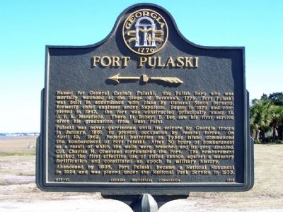
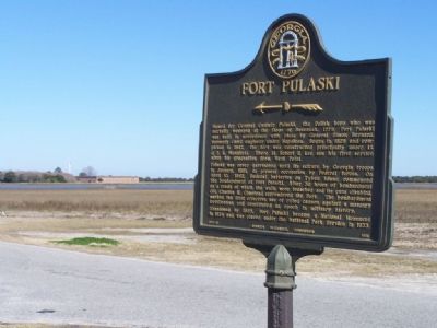
Named for General Casimir Pulaski, the Polish hero who was mortally wounded at the siege of Savannah, 1779, Fort Pulaski was built in accordance with plans by General Simon Bernard, formerly chief engineer under Napoleon. Begun in 1829 and completed in 1847, the Fort was constructed principally under Lt. J.F.K. Mansfield. There Lt. Robert E. Lee saw his first service after graduation from West Point.
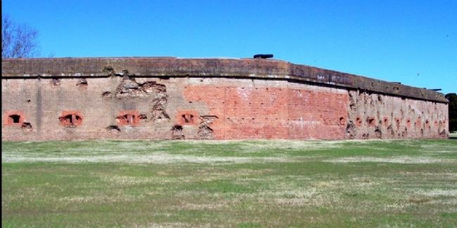
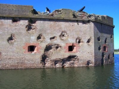
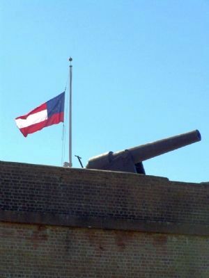
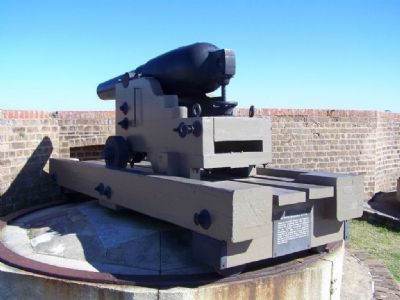
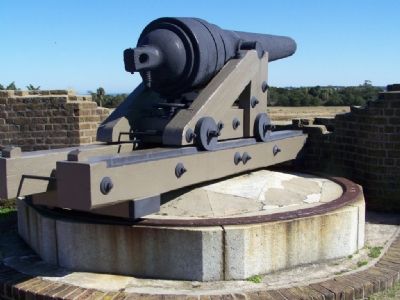
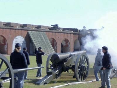
Fort Pulaski was never garrisoned until its seizure by Georgia troops in January, 1861, to prevent occupation by Federal forces. On April 10, 1862, Federal batteries on Tybee Island commenced the bombardment of Fort Pulaski. After 30 hours of bombardment as a result of which the walls were breached and its guns disabled, Col. Charles H. Olmstead surrendered the Fort. The bombardment marked the first effective use of rifled cannon against a masonry fortification and constituted an epoch in military history.
Abandoned by 1885, Fort Pulaski became a National Monument in 1924 and was placed under the National Park Service in 1933.
Erected 1958 by Georgia Historical Commission. (Marker Number 25-61.)
Topics and series. This historical marker is listed in these topic lists: Forts and Castles • Military • Notable Buildings • War, US Civil. In addition, it is included in the Georgia Historical Society series list. A significant historical month for this entry is January 1861.
Location. 32° 1.126′ N, 80° 53.987′ W. Marker is on Tybee Island, Georgia, in Chatham County. Marker is on Islands Expressway (U.S. 80), on the left when traveling east. Located at the entrance to the park, East of Savannah, Georgia. Touch for map. Marker is in this post office area: Tybee Island GA 31328, United States of America. Touch for directions.
Other nearby markers. At least 8 other markers are within walking distance of this marker. Soldier of Liberty (approx. 0.7 miles away); History of Emancipation: (approx. 0.7 miles away); Guarding the Door (approx. 0.7 miles away); Freedom Ahead! (approx. 0.7 miles away); Sheltering Crown (approx. 0.7 miles away); Cisterns of the Construction Village (approx. ¾ mile away); The Waving Girl (approx. ¾ mile away); Engineering Dry Land (approx. ¾ mile away). Touch for a list and map of all markers in Tybee Island.
Related marker. Click here for another marker that is related to this marker. Inside the fort.
Also see . . .
1. National Park Service. After thirty-hours of bombardment, the fort surrendered. (Submitted on January 28, 2008, by Mike Stroud of Bluffton, South Carolina.)
2. Wikipeda speaks about. Wooden pilings sunk up to 70 feet into mud support an estimated 25,000,000 bricks. (Submitted on January 28, 2008, by Mike Stroud of Bluffton, South Carolina.)
Credits. This page was last revised on May 3, 2020. It was originally submitted on January 28, 2008, by Mike Stroud of Bluffton, South Carolina. This page has been viewed 5,183 times since then and 417 times this year. Photos: 1, 2, 3, 4, 5, 6, 7. submitted on January 28, 2008, by Mike Stroud of Bluffton, South Carolina. 8. submitted on November 23, 2008, by David Tibbs of Resaca, Georgia. • Craig Swain was the editor who published this page.
