Near Irvine in Warren County, Pennsylvania — The American Northeast (Mid-Atlantic)
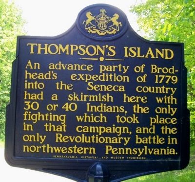
Thompson's Island
Erected 1947 by Pennsylvania Historical and Museum Commission.
Topics and series. This historical marker is listed in these topic lists: Native Americans • War, US Revolutionary. In addition, it is included in the Pennsylvania Historical and Museum Commission series list. A significant historical year for this entry is 1779.
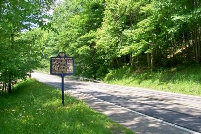
Location. 41° 47.044′ N, 79° 16.922′ W. Marker is near Irvine, Pennsylvania, in Warren County. Marker is on U.S. 62, on the right when traveling south. About four miles south of Irvine, PA. Touch for map. Marker is in this post office area: Irvine PA 16329, United States of America. Touch for directions.
Other nearby markers. At least 8 other markers are within 7 miles of this marker, measured as the crow flies. Buckaloons (approx. 3.8 miles away); General William Irvine (approx. 4 miles away); In 1795, Darius and Joseph Mead (approx. 5 miles away); The Baby Arch (approx. 5.1 miles away); Civilian Conservation Corps (approx. 5.1 miles away); The Mead Island Tradition (approx. 6.1 miles away); These Granite Towers Represent (approx. 6.1 miles away); Indian Paint Hill (approx. 6.3 miles away). Touch for a list and map of all markers in Irvine.
Credits. This page was last revised on June 16, 2016. It was originally submitted on December 14, 2011, by Forest McDermott of Masontown, Pennsylvania. This page has been viewed 763 times since then and 39 times this year. Photos: 1, 2. submitted on December 14, 2011, by Forest McDermott of Masontown, Pennsylvania. • Bill Pfingsten was the editor who published this page.

