Georgetown in Beaver County, Pennsylvania — The American Northeast (Mid-Atlantic)
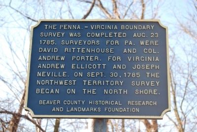
The Penna - Virginia Boundary
Survey was completed August 23, 1785. Surveyors for Pennsylvania were David Rittenhouse and Colonel Andrew Porter. For Virginia Andrew Ellicott and Joseph Neville. On September 30, 1785 the Northwest Territory Survey began on the north shore.
Erected by Beaver County Historical Research and Landmarks Foundation.
Topics and series. This historical marker is listed in this topic list: Notable Events. In addition, it is included in the Pennsylvania - Beaver County Historical Research and Landmarks Foundation series list. A significant historical month for this entry is September 1800.
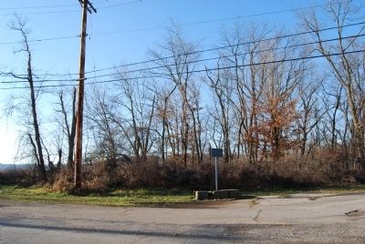
Location. 40° 38.343′ N, 80° 30.105′ W. Marker is in Georgetown, Pennsylvania, in Beaver County. Marker is at the intersection of Scott Street and 3rd Street, on the right when traveling south on Scott Street. Touch for map. Marker is in this post office area: Georgetown PA 15043, United States of America. Touch for directions.
Other nearby markers. At least 8 other markers are within walking distance of this marker. Georgetown Veterans Memorial (approx. 0.2 miles away); Saint Luke's Episcopal Church (approx. 0.2 miles away); Down The Ohio (approx. ¼ mile away); Georgetown (approx. ¼ mile away); Smiths Ferry (approx. 0.6 miles away); The Sandy and Beaver Canal (approx. 0.7 miles away); The Point of Beginning (approx. 0.9 miles away); a different marker also named Down The Ohio (approx. 0.9 miles away). Touch for a list and map of all markers in Georgetown.
Also see . . .
1. Beaver County Historical Research and Landmarks Foundation. Website homepage (Submitted on December 25, 2011, by Mike Wintermantel of Pittsburgh, Pennsylvania.)
2. Virginia-Pennsylvania Boundary. Virginia Places website entry:
Today there is no common border between Virginia and Pennsylvania - but between 1681 and 1863, the southwestern border of Pennsylvania was shared with Virginia. Exactly what territory was Virginia and what was Pennsylvania... well, that was a challenge that took about 100 years to resolve. (Submitted on January 9, 2012, by Mike Wintermantel of Pittsburgh, Pennsylvania.)
Credits. This page was last revised on March 27, 2022. It was originally submitted on December 25, 2011, by Mike Wintermantel of Pittsburgh, Pennsylvania. This page has been viewed 818 times since then and 35 times this year. Photos: 1, 2. submitted on December 25, 2011, by Mike Wintermantel of Pittsburgh, Pennsylvania.

