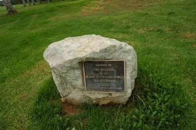
Riverside in Riverside County, California — The American West (Pacific Coastal)
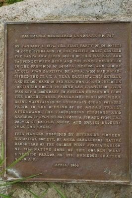
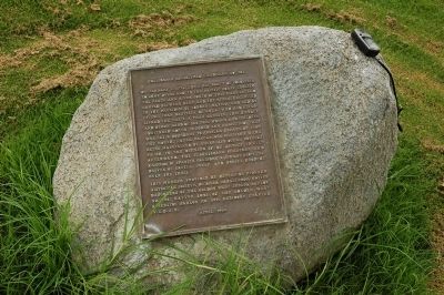
De Anza Crossing of the Santa Ana River
California Registered Landmark No. 787
— 1775 and 1776 —
Erected 1964 by Riverside Pioneer Historical Society, De Anza Caballeros, Native Daughters of the Golden West, Jurupa Parlor No. 196, Native Sons of the Golden West Riverside Parlor No. 299, Rubidoux Chapter N.S.D.A.R. (Marker Number 787.)
Topics and series. This historical marker is listed in these topic lists: Exploration • Notable Events • Settlements & Settlers. In addition, it is included in the California Historical Landmarks, the Juan Bautista de Anza National Historic Trail, and the Native Sons/Daughters of the Golden West series lists. A significant historical month for this entry is January 1876.
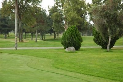
Location. 33° 58.555′ N, 117° 26.474′ W. Marker is in Riverside, California, in Riverside County. Marker can be reached from Moraga Avenue, on the right when traveling south. Marker is located at the Jurupa Hills Country Club Golf Course between the clubhouse and No. 1 tee. Touch for map. Marker is at or near this postal address: 6161 Moraga Avenue, Riverside CA 92509, United States of America. Touch for directions.
Other nearby markers. At least 8 other markers are within 4 miles of this marker, measured as the crow flies. Jensen-Alvarado Ranch (approx. 1.9 miles away); Rubidoux Grist Mill Site (approx. 2.4 miles away); Lt Col Shunzo Kido (approx. 2.9 miles away); The First Marsh Grapefruit Trees into California (approx. 3.1 miles away); Parent Washington Navel Orange Tree (approx. 3.1 miles away); Mount Rubidoux (approx. 3.2 miles away); Civilian War Workers Memorial (approx. 3.7 miles away); Riverside County Courthouse (approx. 3.8 miles away). Touch for a list and map of all markers in Riverside.
Also see . . . Juan Bautista de Anza National Historic Trail Guide: Riverside County. (Submitted on January 2, 2012, by Michael Kindig of Elk Grove, California.)
Credits. This page was last revised on February 6, 2024. It was originally submitted on December 27, 2011, by Michael Kindig of Elk Grove, California. This page has been viewed 1,170 times since then and 52 times this year. Photos: 1. submitted on December 28, 2011, by Michael Kindig of Elk Grove, California. 2, 3, 4, 5. submitted on January 2, 2012, by Michael Kindig of Elk Grove, California. • Syd Whittle was the editor who published this page.
