North Rosslyn in Arlington in Arlington County, Virginia — The American South (Mid-Atlantic)
Fort Corcoran
Defenses of Washington
1861-1865
Fort Corcoran
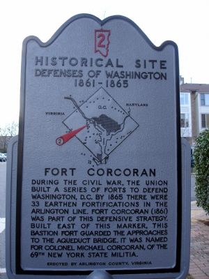
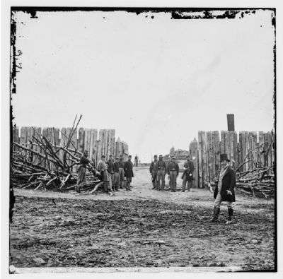
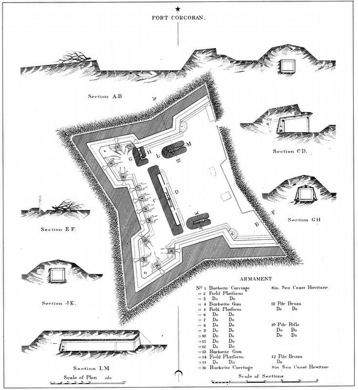
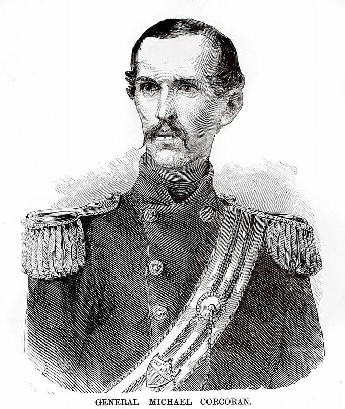
During the Civil War, the Union built a series of forts to defend Washington, D.C. By 1865 there were 33 earthen fortifications in the Arlington Line. Fort Corcoran (1861) was part of this defensive strategy. Built east of this marker, this bastion fort guarded the approaches to the Aqueduct Bridge. It was named for Colonel Michael Corcoran, of the 69th New York State Militia.
Erected by Arlington County, Virginia. (Marker Number 2.)
Topics and series. This historical marker is listed in these topic lists: Forts and Castles • War, US Civil. In addition, it is included in the Defenses of Washington series list. A significant historical year for this entry is 1865.
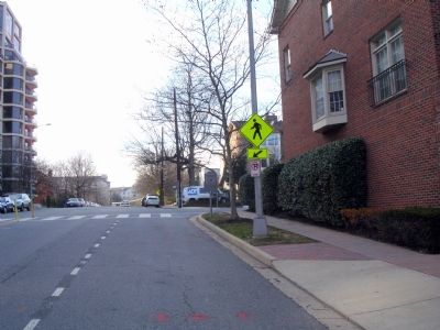
Location. 38° 53.78′ N, 77° 4.547′ W. Marker is in Arlington, Virginia, in Arlington County. It is in North Rosslyn. Marker is at the intersection of Key Boulevard and North Ode Street, on the right when traveling west on Key Boulevard. Touch for map. Marker is in this post office area: Arlington VA 22209, United States of America. Touch for directions.
Other nearby markers. At least 8 other markers are within walking distance of this marker. Watergate Investigation (about 800 feet away, measured in a direct line); ARPANET (approx. 0.2 miles away); Purple Heart Memorial (approx. ¼ mile away); Rosslyn (approx. ¼ mile away); Fort Bennett (approx. ¼ mile away); The Tulip Poplar - Giant of the Arlington Forest (approx. 0.4 miles away); The Dawson-Bailey Spring Site (approx. 0.4 miles away); Fort Haggerty (approx. 0.4 miles away). Touch for a list and map of all markers in Arlington.
More about this marker. In the center of the marker is a map of the Washington Defenses, with a red arrow pointing out the location of Fort Corcoran.
Additional commentary.
1. Fort Corcoran Particulars
From "Mr. Lincoln's Forts: A Guide to the Civil War Defenses of Washington," by Benjamin Franklin Cooling III and Walton H. Owen II:
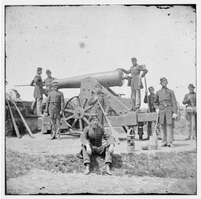
Named for Colonel Michael Corcoran, 69th New York State Militia, who helped construct the fort in 1861. Fort Bennett and Haggerty were auxiliary works for Fort Corcoran. This complex defended the Aqueduct Bridge across the Potomac. Fort Corcoran had a perimeter of 576 yards, with positions for 10 guns. Armament included two 8-inch howitzers and three 20-pdr Parrott rifles.
Units stationed at Fort Corcoran included the 69th and 97th New York Infantry, 3rd and 4th New York Heavy Artillery, 16th Maine Infantry, 1st Massachusetts Heavy Artillery, and the 2nd Pennsylvania Heavy Artillery.
— Submitted February 3, 2008, by Craig Swain of Leesburg, Virginia.
2. Lincoln at Fort Corcoran
The writers of "Mr. Lincoln's Forts" also relate an interesting anecdote from a visit by President Lincoln to the fort. Recorded by the 4th New York Heavy Artillery historian, Lincoln was visiting the fort to watch artillery practice. First he witnessed one of the Parrott rifle fire at a target a couple thousand yards off, and miss. Next he moved to one of the howitzers which fired at a tent fly at a much shorter distance. Once the smoke cleared and it was evident the canvas was not only hit, but obliterated, the President broke into laughter and exlaimed, "Give me the old shot-gun yet!" The howitzer was afterwards named "Uncle Abram's Shotgun."
— Submitted February 3, 2008, by Craig Swain of Leesburg, Virginia.
Credits. This page was last revised on March 21, 2024. It was originally submitted on February 2, 2008. This page has been viewed 3,477 times since then and 81 times this year. Photos: 1, 2. submitted on February 3, 2008. 3, 4. submitted on February 9, 2008. 5, 6. submitted on March 21, 2024, by Allen C. Browne of Silver Spring, Maryland. • Craig Swain was the editor who published this page.
