North Rosslyn in Arlington in Arlington County, Virginia — The American South (Mid-Atlantic)
Fort Haggerty
Defenses of Washington
1861-1865
Fort Haggerty
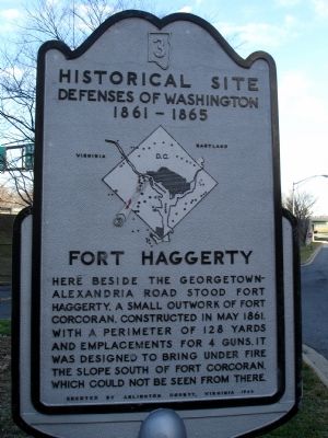
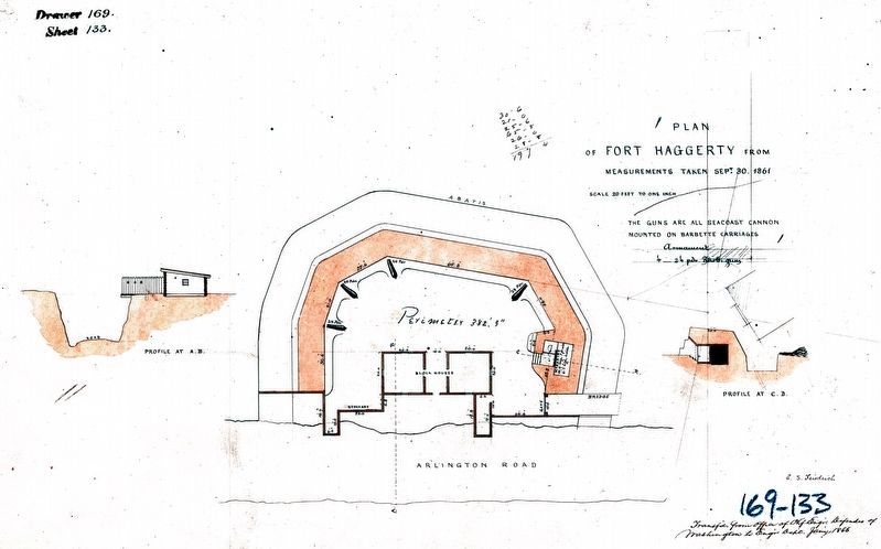
Here beside the Georgetown-Alexandria road stood Fort Haggerty, a small outwork of Fort Corcoran, constructed in May 1861. With a perimeter of 128 yards and emplacements for 4 guns, it was designed to bring under fire the slope south of Fort Corcoran, which could not be seen from there.
Erected 1965 by Arlington County, Virginia. (Marker Number 3.)
Topics and series. This historical marker is listed in these topic lists: Forts and Castles • War, US Civil. In addition, it is included in the Defenses of Washington series list. A significant historical month for this entry is May 1861.
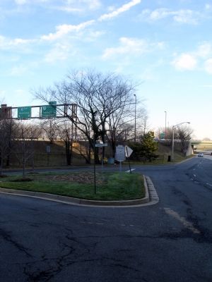
Location. 38° 53.656′ N, 77° 4.107′ W. Marker is in Arlington, Virginia, in Arlington County. It is in North Rosslyn. Marker is at the intersection of Wilson Boulevard and North Arlington Ridge Road, on the right when traveling west on Wilson Boulevard. Touch for map. Marker is at or near this postal address: 22209 Wilson Boulevard, Arlington VA 22209, United States of America. Touch for directions.
Other nearby markers. At least 8 other markers are within walking distance of this marker. Mount Vernon Trail (about 700 feet away, measured in a direct line); Force of Nature (about 700 feet away); American Indian Villages and Captain John Smith (about 700 feet away); Here We Remember Them All (approx. ¼ mile away); And How Will You Remember Them? (approx. ¼ mile away); Something More Than A Statue (approx. ¼ mile away); A Legacy Older than the Republic (approx. ¼ mile away); Battle Honors Unending (approx. ¼ mile away). Touch for a list and map of all markers in Arlington.
More about this marker. In the center of the marker is a map of the Washington Defenses, with a red (weathered) arrow pointing out the location of Fort Haggerty.
Additional commentary.
1. Fort Haggerty Particulars
From "Mr. Lincoln's Forts: A Guide to the Civil War Defenses of Washington," by Benjamin Franklin Cooling III and Walton H. Owen II:
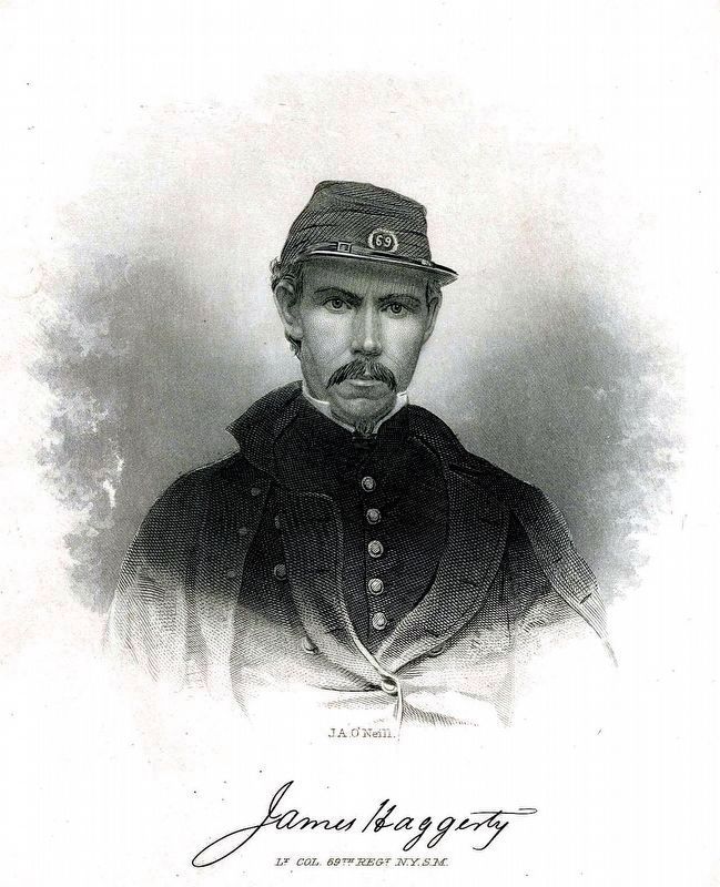
Named for Lt. Col. James Haggerty of the 69th New York State Militia, mortally wounded at the First Battle of Bull Run. The fort was built in May 1861 to protect the Aqueduct bridge (near the site of the modern day Key Bridge). Fort Haggerty covered a blind spot not visible from nearby Fort Corcoran. The fort had a perimeter of 128 yards. It was armed with only four 24-pdr guns.
During the war detachments from the 69th New York State Milita, 97th New York Infantry, 164th Ohio Infantry, 4th New York Heavy Artillery, and 1st Massachusetts Heavy Artillery garrisoned the works at different times.
— Submitted February 3, 2008, by Craig Swain of Leesburg, Virginia.
Credits. This page was last revised on March 21, 2024. It was originally submitted on February 3, 2008. This page has been viewed 2,229 times since then and 47 times this year. Photos: 1, 2, 3. submitted on February 3, 2008. 4, 5. submitted on March 21, 2024, by Allen C. Browne of Silver Spring, Maryland. • Craig Swain was the editor who published this page.


