Fredericksburg, Virginia — The American South (Mid-Atlantic)
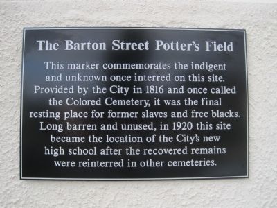
The Barton Street Potter's Field
Erected 2011 by Maury Commons Condominium Association.
Topics. This historical marker is listed in these topic lists: African Americans • Cemeteries & Burial Sites. A significant historical year for this entry is 1816.
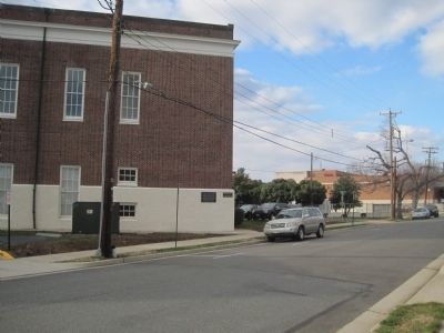
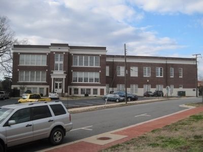
Location. 38° 18.053′ N, 77° 27.868′ W. Marker is in Fredericksburg, Virginia. Marker is on Barton Street just south of Day Street, on the left when traveling south. Mounted on the SE corner of the the Maury Commons Condominiums, formerly Maury High School. Touch for map. Marker is in this post office area: Fredericksburg VA 22401, United States of America. Touch for directions.
Other nearby markers. At least 8 other markers are within walking distance of this marker. Liberty Town (within shouting distance of this marker); A Memorial Landscape (within shouting distance of this marker); Barton Street Confederate Monument (within shouting distance of this marker); Fredericksburg Roll of Honor (about 300 feet away, measured in a direct line); 1850 (about 300 feet away); Fredericksburg Cemeteries and the Corporation Burying Ground (about 500 feet away); From a Burying Ground to a Park (about 500 feet away); Fredericksburg Rescue Squad (about 600 feet away). Touch for a list and map of all markers in Fredericksburg.
Also see . . . Plaque to Commemorate Historic Cemetery. (Submitted on January 2, 2012, by Kevin W. of Stafford, Virginia.)
Credits. This page was last revised on February 2, 2023. It was originally submitted on January 2, 2012, by Kevin W. of Stafford, Virginia. This page has been viewed 907 times since then and 36 times this year. Photos: 1, 2, 3. submitted on January 2, 2012, by Kevin W. of Stafford, Virginia.


