Santa Fe in Galveston County, Texas — The American South (West South Central)
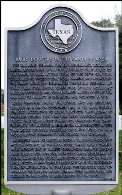
Dairy Industry in the Santa Fe Area
Dairy farming, unlike the citrus and fig industry, emerged as a major economic base in the area during the 1920s. According to local tradition they became so prevalent during this time that most everyone had one. Trucks had supplanted trains for transporting dairy products to markets in Galveston and Houston by this time. Local citizens recalled catching rides on milk trucks before community bus service was available.
Although able to recover from a crushing hoof and mouth epidemic in the mid-1920s, many small dairies were bought out by larger operations able to afford land leases for grazing purposes made necessary by stock laws of the 1930s restricting grazing on public lands. Though many dairies prospered with the introduction of automation in the 1950s the gradual loss of workers to higher paying urban jobs resulted in the closing of all Santa Fe area dairies in the 1970s.
Erected 1993 by Texas Historical Commission. (Marker Number 7424.)
Topics. This historical marker is listed in these topic lists: Agriculture • Industry & Commerce. A significant historical year for this entry is 1912.
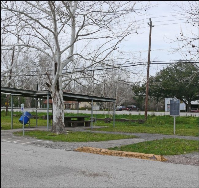
Location. 29° 22.907′ N, 95° 6.987′ W. Marker is in Santa Fe, Texas, in Galveston County. Marker is at the intersection of State Highway 6 and Clark Street on State Highway 6. Marker is in a roadside park off of Texas Highway 6. Touch for map. Marker is in this post office area: Santa Fe TX 77517, United States of America. Touch for directions.
Other nearby markers. At least 8 other markers are within 4 miles of this marker, measured as the crow flies. Arcadia Christian Church (about 800 feet away, measured in a direct line); Runge Park (approx. 0.4 miles away); Santa Fe Consolidated High School (approx. 0.7 miles away); Alta Loma (approx. 2.2 miles away); Original Site of First Baptist Church of Alta Loma (approx. 2.3 miles away); Miller-Brautigam Home (approx. 2.4 miles away); Alta Loma Cemetery (approx. 2.7 miles away); Hitchcock Depot (approx. 3.1 miles away). Touch for a list and map of all markers in Santa Fe.
Also see . . . Santa Fe, Texas, article in Handbook of Texas. (Submitted on February 4, 2014, by Gregory Walker of La Grange, Texas.)
Credits. This page was last revised on June 16, 2016. It was originally submitted on February 10, 2012, by Jim Evans of Houston, Texas. This page has been viewed 778 times since then and 68 times this year. Photos: 1, 2. submitted on February 10, 2012, by Jim Evans of Houston, Texas. • Craig Swain was the editor who published this page.

