Near West Columbia in Brazoria County, Texas — The American South (West South Central)
W. H. Abrams Well No. 1
Inscription.
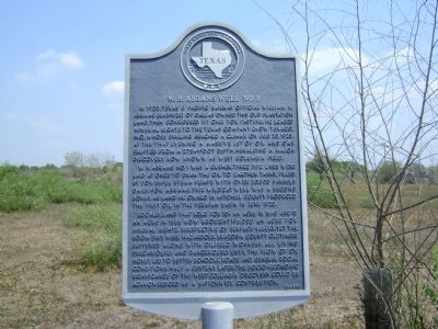
In 1920, Texas & Pacific Railway official William H. Abrams (1843-1926) of Dallas owned this old plantation land, then considered fit only for pasture. He leased mineral rights to the Texas Company (now Texaco, Inc.), whose drilling reached a climax on July 20, 1920. At 7:45 that evening a massive jet of oil and gas erupted from a 2,754-foot depth, heralding a major discovery now known as West Columbia Field.
W.H. Abrams No.1 was a gusher. Three pipe lines were laid at once to draw the oil to earthen tanks, filled by powerful steam pumps with over 20,000 barrels daily. For Abrams, this wildcat well was a second bonus, as land he owned in Mitchell County produced the first oil in the Permian Basin in June 1920.
Locally, land that sold for 10˘ an acre in 1840 and $5 an acre in 1888 now brought $96,000 an acre for mineral rights, irrespective of surface values. Yet the boom days were hazardous. Brazoria County oldtimers suffered along with oilfield workers, all living precariously and dangerously until the flow of oil money led to better schools, roads and general social conditions. Half a century later, the socio-economic significance of the West Columbia discovery could be acknowledged as a nationwide contribution.
Erected 1977 by Texas Historical Commission. (Marker Number 9515.)
Topics. This historical marker is listed in this topic list: Notable Events. A significant historical month for this entry is June 1920.
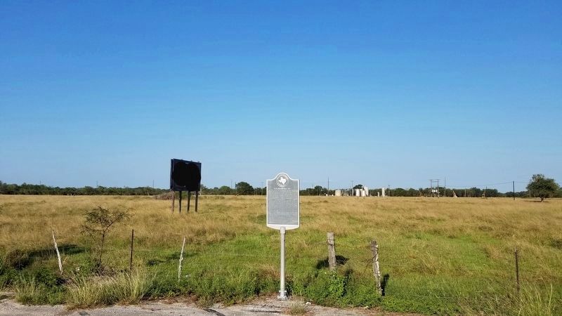
Location. 29° 10.248′ N, 95° 40.221′ W. Marker is near West Columbia, Texas, in Brazoria County. Marker is on State Highway 36, half a mile south of County Road 4, on the right when traveling north. Touch for map. Marker is in this post office area: West Columbia TX 77486, United States of America. Touch for directions.
Other nearby markers. At least 8 other markers are within 3 miles of this marker, measured as the crow flies. Home of George B. McKinstry (approx. 1˝ miles away); Oil Field Row (approx. 1.9 miles away); The Slave Quarters (approx. 2 miles away); The Sugar Mill (approx. 2 miles away); Charlie Brown (approx. 2.1 miles away); The Old Three Hundred (approx. 2.3 miles away); Josiah Hughes Bell 1791-1838 (approx. 2.3 miles away); General Antonio Lopez de Santa Anna (approx. 2.3 miles away). Touch for a list and map of all markers in West Columbia.
Regarding W. H. Abrams Well No. 1. Wells and "iron horses" can be seen still in the area.
Credits. This page was last revised on October 29, 2020. It was originally submitted on February 18, 2012, by Debbie A. Sutherland of West Columbia, Texas. This page has been viewed 1,213 times since then and 65 times this year. Photos: 1. submitted on February 18, 2012, by Debbie A. Sutherland of West Columbia, Texas. 2. submitted on October 29, 2020, by James Hulse of Medina, Texas. • Bernard Fisher was the editor who published this page.

