Near Shenandoah Junction in Jefferson County, West Virginia — The American South (Appalachia)
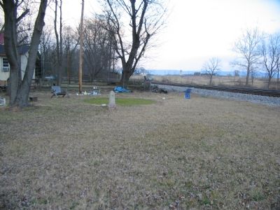
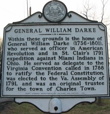
General William Darke
Erected 1981 by West Virginia Department of Culture and History.
Topics and series. This historical marker is listed in these topic lists: Patriots & Patriotism • War, US Revolutionary • Wars, US Indian. In addition, it is included in the West Virginia Archives and History series list. A significant historical year for this entry is 1791.
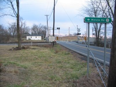
Location. 39° 21.75′ N, 77° 49.604′ W. Marker is near Shenandoah Junction, West Virginia, in Jefferson County. Marker is at the intersection of Flowing Springs Road (County Route 17) and County Route 17/2, on the right on Flowing Springs Road. Located on the north side of the railroad crossing. Touch for map. Marker is at or near this postal address: 14 Melvin Rd, Shenandoah Junction WV 25442, United States of America. Touch for directions.
Other nearby markers. At least 8 other markers are within 2 miles of this marker, measured as the crow flies. Duffields B&O Railroad Station (about 300 feet away, measured in a direct line); Duffields Depot Raid (about 300 feet away); a different marker also named General William Darke (about 400 feet away); York Hill (approx. 1.4 miles away); Peter Burr House (approx. 1.8 miles away); Peter Burr / William Burr Houses (approx. 1.8 miles away); Hockensmith Apple Storage Building (approx. 2 miles away); Gap View Farm (approx. 2 miles away). Touch for a list and map of all markers in Shenandoah Junction.

Photographed By Craig Swain, February 9, 2008
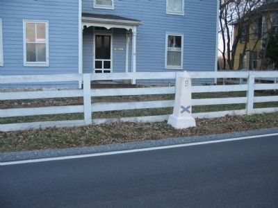
3. Civil War Placemark
Not related to General Darke, but standing nearby is this placemark. While neighboring Clarke County, Virginia has a series of granite stones with battle names, opposing forces, and a date, Jefferson County, West Virginia has several dozen stone obelisks such as seen here.
Credits. This page was last revised on January 21, 2022. It was originally submitted on February 12, 2008, by Craig Swain of Leesburg, Virginia. This page has been viewed 1,951 times since then and 67 times this year. Photos: 1, 2, 3, 4. submitted on February 12, 2008, by Craig Swain of Leesburg, Virginia.


