Fairfax in Kansas City in Wyandotte County, Kansas — The American Midwest (Upper Plains)
The Lewis and Clark Expedition
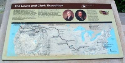
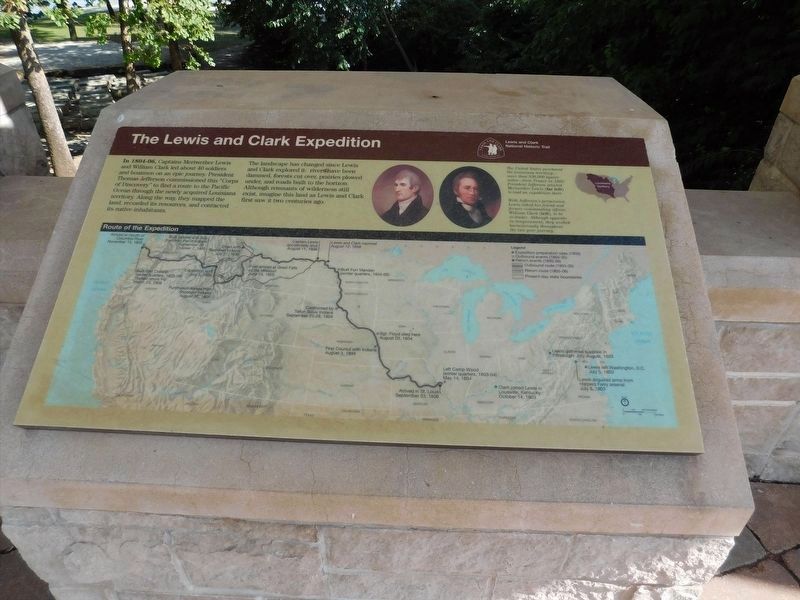
In 1804-06, Captains Meriwether Lewis and William Clark led about 40 soldiers and boatmen on an epic journey. President Thomas Jefferson commissioned this "Corps of Discovery" to find a route to the Pacific Ocean through the newly acquired Louisiana territory. Along the way, they mapped the land, recorded its resources, and contacted its native inhabitants.
The landscape has changed since Lewis and Clark explored it: rivers have been dammed, forests cut over, prairies plowed under, and roads built to the horizon. Although remnants of wilderness still exist, imagine this land as Lewis and Clark first saw it two centuries ago.
The United States purchased the Louisiana territory - more than 830,000 square miles - from France in 1803. President Jefferson selected Meriwether Lewis (far left) to lead an expedition there.
With Jefferson's permission, Lewis asked his friend and former commanding officer, William Clark (left), to be co-leader. Although opposite in temperament, they worked harmoniously throughout the two-year journey.
Erected 2004 by National Park Service, U.S. Department of the Interior.
Topics and series. This historical marker is listed in these topic lists: Exploration • Waterways & Vessels. In addition, it is included in the Former U.S. Presidents: #03 Thomas Jefferson, and the Lewis & Clark Expedition series lists. A significant historical year for this entry is 1803.
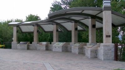
Location. 39° 6.99′ N, 94° 36.639′ W. Marker is in Kansas City, Kansas, in Wyandotte County. It is in Fairfax. Marker is at the pavilion in Lewis and Clark Historic Park at Kaw Point. Touch for map. Marker is at or near this postal address: 1 Fairfax Trafficway, Kansas City KS 66115, United States of America. Touch for directions.
Other nearby markers. At least 8 other markers are within walking distance of this marker. Encampment at Kaw's Mouth - June 26-29, 1804 (here, next to this marker); "we determin to delay at this Place" (here, next to this marker); Homeland of the Kanza Indians (here, next to this marker); "the water…contains a half…Glass of ooze" (a few steps from this marker); Lewis and Clark at Kaw Point / Kaw Point (within shouting distance of this marker); Bird Woman's Trail (about 300 feet away, measured in a direct line); The Cruise-Scroggs Mansion (approx. half a mile away); Commissioner Thomas F. Lally (approx. half a mile away). Touch for a list and map of all markers in Kansas City.
Also see . . .
1. Lewis and Clark at Kaw Point. Friends of Kaw Point Park website entry (Submitted on March 28, 2012, by William Fischer, Jr. of Scranton, Pennsylvania.)
2. Lewis and Clark National Historic Trail. National Park Service website entry (Submitted on March 28, 2012, by William Fischer, Jr. of Scranton, Pennsylvania.)
3. The Journals of the Lewis and Clark Expedition. Website homepage (Submitted on March 28, 2012, by William Fischer, Jr. of Scranton, Pennsylvania.)
Credits. This page was last revised on February 10, 2023. It was originally submitted on March 28, 2012, by William Fischer, Jr. of Scranton, Pennsylvania. This page has been viewed 746 times since then and 44 times this year. Photos: 1. submitted on March 28, 2012, by William Fischer, Jr. of Scranton, Pennsylvania. 2. submitted on April 6, 2022, by Adam Margolis of Mission Viejo, California. 3. submitted on March 27, 2012, by William Fischer, Jr. of Scranton, Pennsylvania.


