Pawhuska in Osage County, Oklahoma — The American South (West South Central)
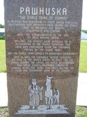
Pawhuska
"The Osage Tribe of Indians"
1865 - The Osages agreed to the sale of their Kansas lands.
1871 — 1872 The Osages were removed to a reservation in the Indian Territory. This land was purchased from the Cherokee Nation by the Osage Tribe.
1881 - The Osage Tribe formed an organized government.
June 14, 1883; the Cherokee Nation conveyed by deed to the United States in trust for the Osage Indians the lands. The Osage Reservation, now Osage County, Oklahoma, embracing 1470559 acres. The lands purchased became the final and permanent home of the Osages.
Topics. This historical marker is listed in these topic lists: Native Americans • Settlements & Settlers. A significant historical month for this entry is June 1876.
Location. 36° 39.714′ N, 96° 19.869′ W. Marker is in Pawhuska, Oklahoma, in Osage County. Marker is at the intersection of East Main Street (U.S. 60) and Lynn Avenue (U.S. 60), on the left when traveling west on East Main Street. Touch for map. Marker is in this post office area: Pawhuska OK 74056, United States of America. Touch for directions.
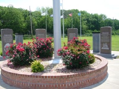
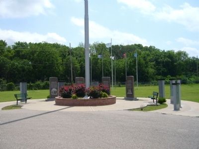
Other nearby markers. At least 8 other markers are within walking distance of this marker. A different marker also named Pawhuska (here, next to this marker); a different marker also named Pawhuska (here, next to this marker); Veterans Memorial (within shouting distance of this marker); First Boy Scout Troop in America (approx. 0.2 miles away); An Answer To Prayer (approx. half a mile away); Restoring the Whiting Apartments (approx. half a mile away); Vernon Whiting (approx. half a mile away); Site of the First Osage Agency Building (approx. half a mile away). Touch for a list and map of all markers in Pawhuska.
Credits. This page was last revised on June 16, 2016. It was originally submitted on May 25, 2012, by Bill Kirchner of Tucson, Arizona. This page has been viewed 600 times since then and 26 times this year. Photos: 1, 2, 3. submitted on May 25, 2012, by Bill Kirchner of Tucson, Arizona. • Bernard Fisher was the editor who published this page.


