Near Trempealeau in Trempealeau County, Wisconsin — The American Midwest (Great Lakes)
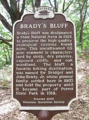
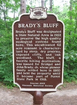
Brady's Bluff
Wisconsin Historical Society
Erected 2003 by Wisconsin Historical Society. (Marker Number 486.)
Topics and series. This historical marker is listed in this topic list: Natural Features. In addition, it is included in the Wisconsin Historical Society series list. A significant historical year for this entry is 1952.
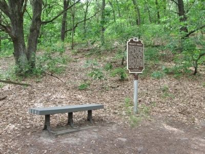
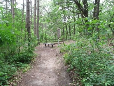
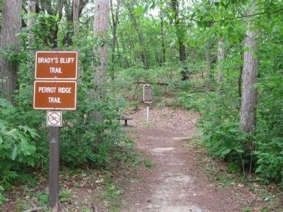
Location. 44° 0.964′ N, 91° 28.579′ W. Marker is near Trempealeau, Wisconsin, in Trempealeau County. Marker can be reached from Sullivan Street / South Park Road, 1.9 miles west of Main Street, on the right when traveling west. Marker is along the Brady's Bluff Trail and Perrot Ridge Trail in Perrot State Park (fee area). Touch for map. Marker is at or near this postal address: W26247 Sullivan Road, Trempealeau WI 54661, United States of America. Touch for directions.
Other nearby markers. At least 8 other markers are within 5 miles of this marker, measured as the crow flies. French Post (approx. 0.2 miles away); The Geology of Perrot State Park (approx. ¾ mile away); James Allen Reed / Trempealeau (approx. 1.9 miles away); Pickwick Mill (approx. 2.7 miles away in Minnesota); The Mississippi River Parkway: (approx. 2.7 miles away); Historic Lake Labelle (approx. 2.7 miles away in Minnesota); Great River Bluffs (approx. 3.7 miles away in Minnesota); The Bunnell House (approx. 4.2 miles away in Minnesota). Touch for a list and map of all markers in Trempealeau.
Also see . . .
1. Wisconsin Department of Natural Resources. Perrot State Park. (Submitted on June 5, 2012.)
2. Perrot State Park. Wikipedia entry. (Submitted on June 5, 2012.)
Credits. This page was last revised on June 16, 2016. It was originally submitted on June 5, 2012, by Keith L of Wisconsin Rapids, Wisconsin. This page has been viewed 772 times since then and 75 times this year. Photos: 1, 2, 3, 4, 5. submitted on June 5, 2012, by Keith L of Wisconsin Rapids, Wisconsin.
