The Original Water Supply
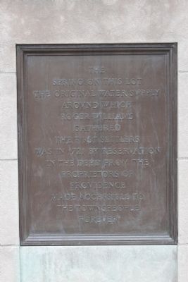
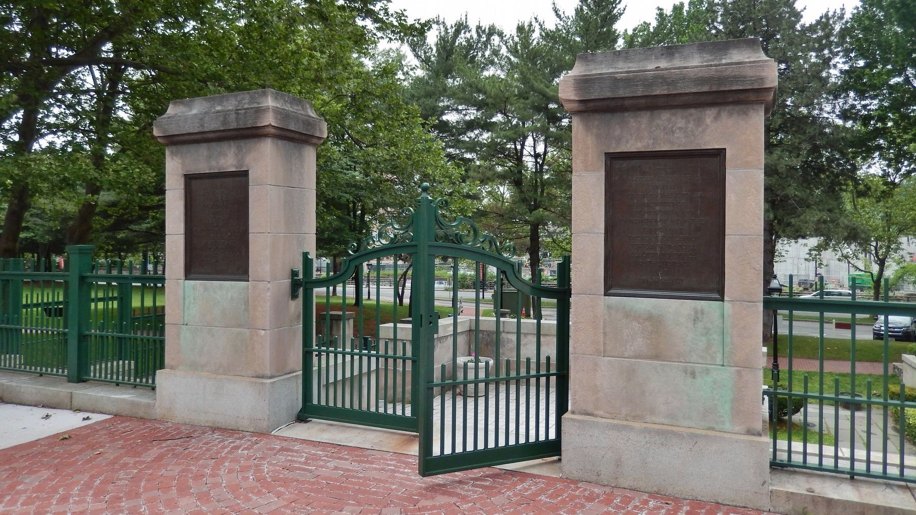
Left Plaque
The Spring on this lot was the original water supply around which Roger Williams gathered the first settlers was in 1721 by reservation in the deed from the Proprietors of Providence made accessible to the townspeople forever
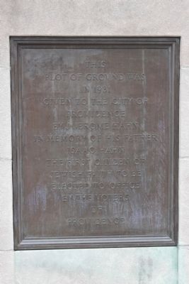
Right Plaque
This plot of ground was in 1931 given to the city of Providence by J-Jerome Hahn in memory of his father Issac Hahn the first citizen of Jewish faith to be elected to office by the voters of Providence
Topics. This historical marker is listed in these topic lists: Colonial Era • Settlements & Settlers. A significant historical year for this entry is 1721.
Location. 41° 49.836′ N, 71° 24.625′ W. Marker is in Providence, Rhode Island, in Providence County. It is in Downtown Providence. Marker is on North Main Street (U.S. 1), on the left when traveling north. Touch for map. Marker is in this post office area: Providence RI 02903, United States of America. Touch for directions.
Other nearby markers. At least 8 other markers are within walking distance of this marker. Roger Williams Founded Providence Here in 1636 (here, next to this marker); The Wellspring of Providence (a few steps from this marker); A Shelter for Persons Distressed (a few steps from this marker); Site of Roger Williams House (within shouting distance of this marker); A Livelie Experiment (within shouting
Credits. This page was last revised on February 8, 2023. It was originally submitted on June 8, 2012, by Bryan Simmons of Attleboro, Massachusetts. This page has been viewed 639 times since then and 17 times this year. Photos: 1, 2, 3. submitted on June 8, 2012, by Bryan Simmons of Attleboro, Massachusetts. 4. submitted on August 30, 2017, by Cosmos Mariner of Cape Canaveral, Florida. • Bill Pfingsten was the editor who published this page.


