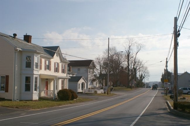
Lisbon in Howard County, Maryland — The American Northeast (Mid-Atlantic)
New Lisbon
Servicing Travelers on the National Pike
— The Historic National Road - The Road That Built The Nation —
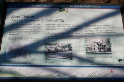
“New Lisbon” was established by Quaker Caleb Pancoast in 1802, who saw both need and opportunity to service travelers along the length of the National Pike. He also welcomed all religious denominations into his home, and allowed it to be used as a meetinghouse.
Shortened to “Lisbon” in 1805, the town thrived, and by 1835, there were eight daily stagecoaches stopping at the old Stage Coach House, where horses were exchanged and food and lodging were provided. A fare on the stage line from Baltimore to Frederick was $2.00.
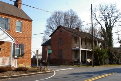
Both the Stage Coach House and Mr. Pancoast’s House have fallen victim to time and are no longer standing. But the two-story brick house across the road to your left is one of the many buildings still in existence along the Pike that have historical significance: over time it served as the Lisbon Female Seminary, a tollhouse for the Pike, and the home of Richard E. Coursey, village blacksmith and wheelwright.
Erected by America's Byways.
Topics and series. This historical marker is listed in these topic lists: Churches & Religion • Roads & Vehicles. In addition, it is included in the Quakerism, and the The Historic National Road series lists. A significant historical year for this entry is 1802.
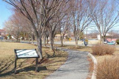
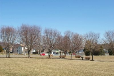
Location. 39° 20.109′ N, 77° 4.133′ W. Marker is in Lisbon, Maryland, in Howard County. Marker is on Historic National Road (Maryland Route 144), on the left when traveling west. The marker is located in a park in front of the elementary school. Touch for map. Marker is in this post office area: Lisbon MD 21765, United States of America. Touch for directions.
Other nearby markers. At least 8 other markers are within 4 miles of this marker, measured as the crow flies. Simpson & Mount Gregory United Methodist Churches (approx. 1.8 miles away); Poplar Springs (approx. 2.1 miles away); Roberts Inn (approx. 2.8 miles away); Gettysburg Campaign (approx. 2.8 miles away); Cooksville (approx. 2.8 miles away); a different marker also named Cooksville (approx. 2.8 miles away); Cooksville High School (approx. 3.2 miles away); a different marker also named Simpson & Mount Gregory United Methodist Churches (approx. 3.2 miles away).
More about this marker. In the lower right is a "Map of Lisbon c. 1860s. Then, as now, the "Female School" building still stands across the road from here.
In the lower center is a photo of a "Wagon tream in front of the Lisbon Stage Coach House, early 20th century."
On the lower right is a photo of "The Caleb Pancoast House stood until the 1950s. The hotel in the front of the house was added to serve travelers on the old National Pike, and still stands at the west end of town."
The background of the marker is "National Road at Fairview Inn" which is the standard for markers in this series. An elevation diagram of the national road is displayed on the bottom of the marker's face.
Credits. This page was last revised on March 24, 2024. It was originally submitted on February 25, 2008, by Christopher Busta-Peck of Shaker Heights, Ohio. This page has been viewed 2,120 times since then and 33 times this year. Photos: 1, 2, 3, 4. submitted on February 25, 2008, by Christopher Busta-Peck of Shaker Heights, Ohio. 5. submitted on March 10, 2008, by Christopher Busta-Peck of Shaker Heights, Ohio. • Craig Swain was the editor who published this page.
