Aylett in King William County, Virginia — The American South (Mid-Atlantic)
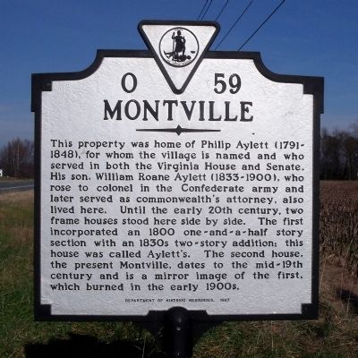
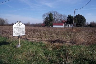
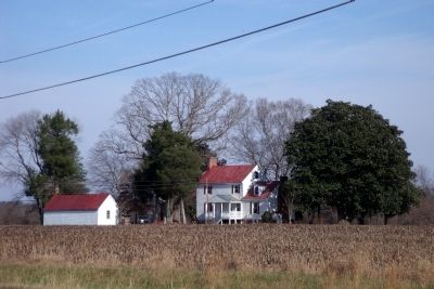
Montville
Erected 1997 by Department of Historic Resources. (Marker Number O-59.)
Topics and series. This historical marker is listed in these topic lists: Government & Politics • Settlements & Settlers • War, US Civil. In addition, it is included in the Virginia Department of Historic Resources (DHR) series list. A significant historical year for this entry is 1800.
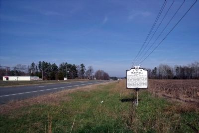
Location. 37° 46.307′ N, 77° 6.747′ W. Marker is in Aylett, Virginia, in King William County. Marker is on Richmond Tappahannock Highway (U.S. 360) 0.6 miles east of Mill Road, on the right when traveling east. Touch for map. Marker is in this post office area: King William VA 23086, United States of America. Touch for directions.
Other nearby markers. At least 8 other markers are within 5 miles of this marker, measured as the crow flies. Cavalry Raids (approx. 0.8 miles away); Rumford Academy (approx. 2.1 miles away); Sharon Indian School (approx. 2.6 miles away); Clark Home (approx. 4.1 miles away); Apple Tree Church (approx. 4.2 miles away); Robert Mush (approx. 4.6 miles away); Pamunkey Indians In The Civil War (approx. 4.6 miles away); Headquarters of Opechancanough (approx. 4.6 miles away).
More about this marker. Note the marker identifies the present Montville dates to the mid-19th century. However, the first structure was burned in 1908, meaning the second structure was built in the mid-20th century.
Regarding Montville. The comment that the "second structure was built in the mid 20th century" is incorrect. The two houses, mirror images of each other, were both built in the first half of the 19th century and stood side-by-side until the older half, the "Ayletts" house, burned in 1908. The "Montville" half predates the Civil War and stands today.
Also see . . . L'Abeille de la Nouvelle D'Orleans. An article published in 1908 discusses why the first Montville was burned. Apparently, bats had infested the historic home and the only recourse was to destroy the colonial mansion. (Submitted on January 9, 2010.)
Additional commentary.
1. Montville Marker Information
The information at the end of the marker listed the original home burning in the early 1900's Should it be 1800's?
Editor's Note: Thank you for identifying the discrepancy on the marker. Research indicates the original home was burned in 1908, meaning the current mansion was built in the mid-20th century, not the mid-19th century as mentioned on the marker. While we cannot make a change to the marker, we can identify here the correct information.
— Submitted January 8, 2010, by Ann Marie Hatchell of Richmond, Virginia.
Credits. This page was last revised on June 16, 2016. It was originally submitted on December 8, 2009, by Bernard Fisher of Richmond, Virginia. This page has been viewed 1,691 times since then and 72 times this year. Last updated on July 22, 2012, by Gary L Young of Arlington, VA - Virginia. Photos: 1, 2, 3, 4. submitted on December 8, 2009, by Bernard Fisher of Richmond, Virginia.


