Ridgeway in Henry County, Virginia — The American South (Mid-Atlantic)
Henry County / North Carolina
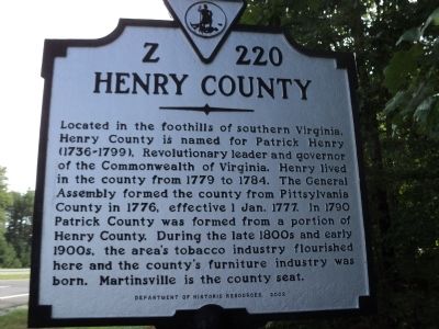
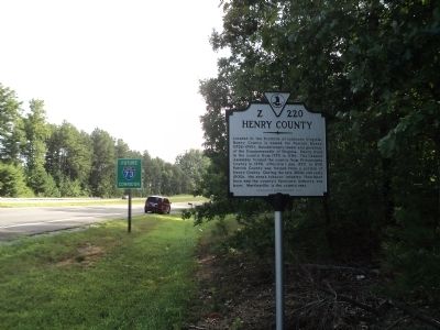
Henry County. Located in the foothills of southern Virginia, Henry County is named for Patrick Henry (1736-1799), Revolutionary leader and governor of the Commonwealth of Virginia. Henry lived in the county from 1779 to 1784. The General Assembly formed the county from Pittsylvania County in 1776, effective 1 Jan. 1777. In 1790 Patrick County was formed from a portion of Henry County. During the late 1800s and early 1900s, the area’s tobacco industry flourished here and the country’s furniture industry was born. Martinsville is the county seat.
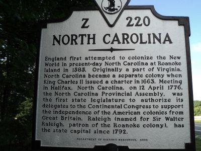
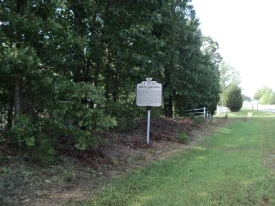
North Carolina. England first attempted to colonize the New World in present-day North Carolina at Roanoke Island in 1585. Originally a part of Virginia, North Carolina became a separate colony when King Charles II issued a charter in 1663. Meeting in Halifax, North Carolina, on 12 April 1776, the North Carolina Provincial Assembly, was the first state legislature to authorize its delegates to the Continental Congress to support the independence of the American colonies from Great Britain. Raleigh (named for Sir Walter Raleigh, patron of the Roanoke colony), has [been] the state capital since 1792.
Erected 2002 by Department of Historic Resources. (Marker Number Z-220.)
Topics and series. This historical marker is listed in these topic lists: Colonial Era • Settlements & Settlers. In addition, it is included in the Virginia Department of Historic Resources (DHR) series list. A significant historical date for this entry is April 12, 1779.
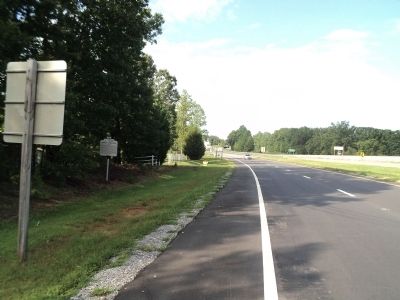
Location. 36° 32.592′ N, 79° 54.595′ W. Marker is in Ridgeway, Virginia, in Henry County. Marker is on US 220, on the right when traveling north. Touch for map. Marker is in this post office area: Ridgeway VA 24148, United States of America. Touch for directions.
Other nearby markers. At least 8 other markers are within 9 miles of this marker, measured as the crow flies. William Byrd’s Camp (approx. half a mile away); Martinsville Speedway (approx. 7 miles away); Charlie Poole (approx. 7.3 miles away in North Carolina); Belleview (approx. 7.7 miles away); “Land of Eden” (approx. 8.3 miles away in North Carolina); a different marker also named Land of Eden (approx. 8.3 miles away in North Carolina); Annie Eliza Johns (approx. 8.7 miles away in North Carolina); Leaksville Cotton Mill (approx. 8.7 miles away in North Carolina). Touch for a list and map of all markers in Ridgeway.
Credits. This page was last revised on July 7, 2021. It was originally submitted on August 12, 2012, by Bill Coughlin of Woodland Park, New Jersey. This page has been viewed 928 times since then and 140 times this year. Photos: 1, 2, 3, 4, 5. submitted on August 13, 2012, by Bill Coughlin of Woodland Park, New Jersey.
