Hurricane in Washington County, Utah — The American Mountains (Southwest)
Convict Camp and Wagon Road
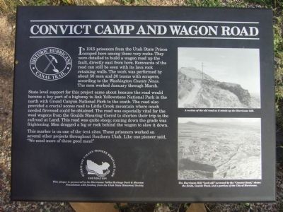
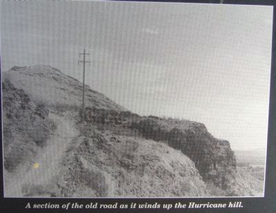
State level support for this project came about because the road would become a key part of a highway to link Yellowstone National Park in the north and Grand Canyon National Park to the south. The road also provided a crucial access road to Little Creek mountain where much needed firewood could be obtained. The road was especially vital for the wool wagons from the Gourds Shearing Corral to shorten their trip to the railroad at Lund. This road was quite steep; coming down grade was freighting. Men dragged a log or rock behind the wagon to slow it down.
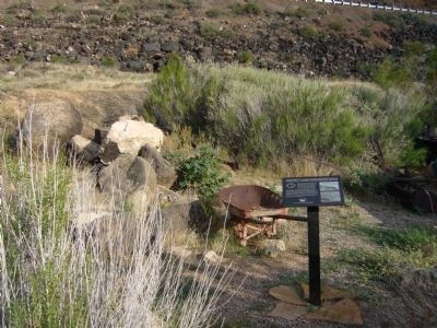
This marker is on one of the tent sites. These prisoners worked on several other projects throughout Southern Utah. Like one pioneer said, "We need more of these good men!"
Erected by The Hurricane Valley Heritage Park & Museum Foundation with funding from the Utah Division of Parks & Recreation.
Topics. This historical marker is listed in this topic list: Roads & Vehicles. A significant historical year for this entry is 1915.
Location. 37° 10.783′ N, 113° 16.956′ W. Marker is in Hurricane, Utah, in Washington County. Marker is on East 200 North, 0.1 miles east of North State Street, in the median. Touch for map. Marker is in this post office area: Hurricane UT 84737, United States of America. Touch for directions.
Other nearby markers. At least 8 other markers are within walking distance of this marker. Pioneer Bowery (here, next to this marker); The Historic Hurricane Canal (a few steps from this marker); Birth of Hurricane (a few steps from this marker); The Historic Dixie-Long Valley, Utah Pioneer Trail (approx. 0.3 miles away); a different marker also named The Historic Hurricane Canal (approx. 0.3 miles away); Many Came by Handcart (approx. 0.4 miles away); Historic Kolob Mountain (approx. 0.4 miles away); The Town Named After a Buggy Incident (approx. 0.4 miles away). Touch for a list and map of all markers in Hurricane.
Credits. This page was last revised on June 16, 2016. It was originally submitted on September 12, 2012, by Bill Kirchner of Tucson, Arizona. This page has been viewed 582 times since then and 20 times this year. Photos: 1, 2, 3, 4. submitted on September 12, 2012, by Bill Kirchner of Tucson, Arizona. • Bill Pfingsten was the editor who published this page.


