Parowan in Iron County, Utah — The American Mountains (Southwest)
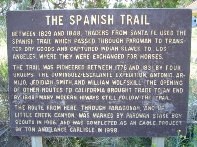
The Spanish Trail
The trail was pioneered between 1776 and 1831 by four groups: The Dominguez-Escalante expedition, Antonio Armijo, Jedidiah Smith and William Woflskill. The opening of other routes to California brought trade to an end by 1848. Many modern hiways still follow the trail.
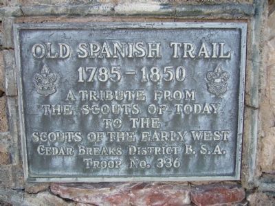
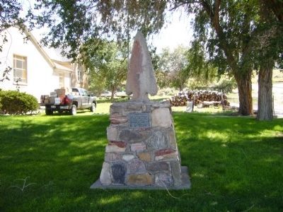
The route from here, through Paragonah, and up Little Creek Canyon, was marked by Parowan stake Boy Scouts in 1996, and was completed as an eagle project by Tom and Lance Carlisle in 1998.
Topics and series. This historical marker is listed in these topic lists: Exploration • Roads & Vehicles. In addition, it is included in the Old Spanish National Trail series list. A significant historical year for this entry is 1829.
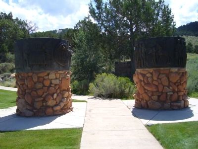
Location. 37° 50.166′ N, 112° 49.686′ W. Marker is in Parowan, Utah, in Iron County. Marker can be reached from South Main Street. Marker is in Parowan Heritage Park. Touch for map. Marker is at or near this postal address: 300 South Main Street, Parowan UT 84761, United States of America. Touch for directions.
Other nearby markers. At least 8 other markers are within walking distance of this marker. Paulina Eliza Phelps Lyman (a few steps from this marker); Parley P. Pratt (a few steps from this marker); Southern Expedition, 1849-1850 (within shouting distance of this marker); Memorial to Horace and Hannah Leavitt Fish (within shouting distance of this marker); The Founding of Iron County (within shouting distance of this marker); Birthplace of Southern Utah (within shouting distance of this marker); Southern Utah Expedition of 1849 (within shouting distance of this marker); William and Julia Lyman House (approx. ¼ mile away). Touch for a list and map of all markers in Parowan.
Credits. This page was last revised on June 16, 2016. It was originally submitted on September 17, 2012, by Bill Kirchner of Tucson, Arizona. This page has been viewed 780 times since then and 22 times this year. Photos: 1, 2. submitted on September 17, 2012, by Bill Kirchner of Tucson, Arizona. 3, 4. submitted on October 2, 2012, by Bill Kirchner of Tucson, Arizona. • Syd Whittle was the editor who published this page.


