Appomattox in Appomattox County, Virginia — The American South (Mid-Atlantic)
The Surrender Ceremony
Major Henry Kyd Douglas, CSA
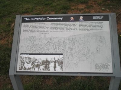
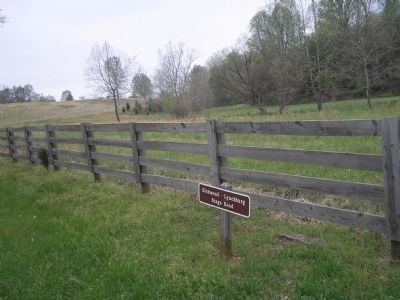
Throughout the day on April 12, 1865, shattered Confederate divisions marched into the village to surrender their weapons and flags. Union troops lined the Richmond-Lynchburg Stage Road to beyond the McLean House. Confederates – many of them racked with tears – marched between the two Union lines to lay down their arms.
By day’s end, about 22,000 Confederates had marched into the village and stacked arms. Hundreds more refused to do so, and simply left their weapons in camp. April 10 through 15, the Confederates received their paroles. The long journey home, and the difficult road to reconciliation, began.
Erected by Appomattox Court House National Historic Park, National Park Service.
Topics. This historical marker is listed in these topic lists: Peace • War, US Civil. A significant historical month for this entry is April 1862.
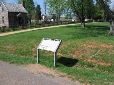
Location. 37° 22.65′ N, 78° 47.598′ W. Marker is in Appomattox, Virginia, in Appomattox County. Marker is on George Peers Drive (State Highway 24), on the right when traveling west. The marker is in the Appomattox Court House National Historic Park, nears the Peers House in the village, along Prince Edward Court House Road (now a walking path). Touch for map. Marker is at or near this postal address: 308 George Peers Dr, Appomattox VA 24522, United States of America. Touch for directions.
Other nearby markers. At least 8 other markers are within walking distance of this marker. Final Combat (within shouting distance of this marker); Last Artillery Shots (within shouting distance of this marker); Lee and Grant Meet (about 500 feet away, measured in a direct line); “Salute of Arms” (about 600 feet away); Grant and Lee Meeting (about 600 feet away); County Jail (about 600 feet away); Clover Hill Tavern (about 800 feet away); The Isbell House (approx. 0.2 miles away). Touch for a list and map of all markers in Appomattox.
More about this marker. The background of the marker is a drawing of the surrender ceremony, and contains the caption: “This contemporary sketch (above) is perhaps the most accurate representation of the surrender ceremony. Gen. Joshua Chamberlain – commander of Union troops receiving the surrender – is on horseback at upper left.”
On the bottom left of the marker is a photograph titled “Stacking Arms” that depicts the Confederates surrendering their arms and flags.
Also see . . . Appomattox Court House National Historical Park. (Submitted on March 4, 2008, by Bill Coughlin of Woodland Park, New Jersey.)
Photographed By Bill Coughlin, April 26, 2007
3. Peers House
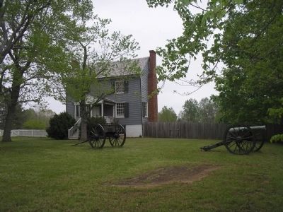
The Surrender Ceremony marker is located in front of the Peers House in the village of Appomattox Court House. From near this spot was fired the last shot from the artillery of the Army of Northern Virginia, on the morning of April 9, 1865.
Credits. This page was last revised on March 21, 2020. It was originally submitted on March 4, 2008, by Bill Coughlin of Woodland Park, New Jersey. This page has been viewed 2,551 times since then and 28 times this year. Photos: 1. submitted on March 4, 2008, by Bill Coughlin of Woodland Park, New Jersey. 2. submitted on April 25, 2010, by Craig Swain of Leesburg, Virginia. 3. submitted on March 4, 2008, by Bill Coughlin of Woodland Park, New Jersey. 4. submitted on April 25, 2010, by Craig Swain of Leesburg, Virginia. 5. submitted on March 4, 2008, by Bill Coughlin of Woodland Park, New Jersey. • Craig Swain was the editor who published this page.
