Near Appomattox in Appomattox County, Virginia — The American South (Mid-Atlantic)
Lee and Grant Meet
Appomattox Court House National Historical Park
— National Park Service, U.S. Department of the Interior —
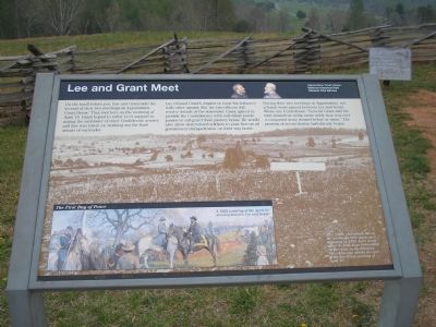
Lee refused Grant’s request to exert his influence with other armies. But the two officers did resolve details of the surrender. Grant agreed to provide the Confederates with individual parole passes to safeguard their journey home. He would also allow surrendered soldiers to pass free on all government transportation on their way home.
During their two meetings at Appomattox, not a harsh word passed between Lee and Grant. Wrote one Confederate: “General Grant and his men treated us nobly, more nobly than was ever a conquered army treated before of since.” The process of reconciliation had already begun.
Erected by National Park Service, U.S. Department of the Interior.
Topics and series. This historical marker is listed in this topic list: War, US Civil. In addition, it is included in the Former U.S. Presidents: #18 Ulysses S. Grant series list. A significant historical date for this entry is April 10, 1862.
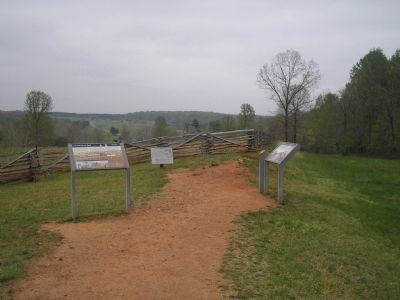
Location. 37° 22.727′ N, 78° 47.547′ W. Marker is near Appomattox, Virginia, in Appomattox County. Marker is on Richmond-Lynchburg Stage Road, on the left when traveling east. Marker is located in the Appomattox Court House National Historical Park, on the extreme eastern end the Richmond-Lynchburg Stage Road. Touch for map. Marker is at or near this postal address: 409 George Peers Dr, Appomattox VA 24522, United States of America. Touch for directions.
Other nearby markers. At least 8 other markers are within walking distance of this marker. “Salute of Arms” (a few steps from this marker); Grant and Lee Meeting (a few steps from this marker); Last Artillery Shots (about 400 feet away, measured in a direct line); Final Combat (about 400 feet away); The Surrender Ceremony (about 500 feet away); County Jail (approx. 0.2 miles away); Clover Hill Tavern (approx. 0.2 miles away); The Isbell House (approx. ¼ mile away). Touch for a list and map of all markers in Appomattox.
More about this marker. The background of the marker is a photograph which contains the caption "This 1890s photograph shows the landscape here much as it appeared in 1865. Lee’s army spent its final days bivouacked on the ridge in the distance. The white sign marks the spot of the Lee-Grant meeting of April 10."
The lower left portion of the marker contains a 1922 painting of the April 10 meeting between Lee and Grant. Title of the painting is The First Day of Peace.
Also see . . .
Appomattox Court House National Historical Park. (Submitted on March 2, 2008, by Bill Coughlin of Woodland Park, New Jersey.)
Credits. This page was last revised on August 2, 2020. It was originally submitted on March 2, 2008, by Bill Coughlin of Woodland Park, New Jersey. This page has been viewed 2,379 times since then and 58 times this year. Last updated on March 4, 2008, by Bill Coughlin of Woodland Park, New Jersey. Photos: 1, 2. submitted on March 2, 2008, by Bill Coughlin of Woodland Park, New Jersey. • Craig Swain was the editor who published this page.

