Hays in Ellis County, Kansas — The American Midwest (Upper Plains)
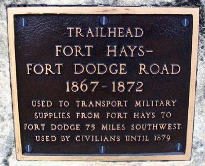
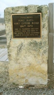
Fort Hays - Fort Dodge Road Trailhead
1867 - 1872
Inscription.
Used to transport military supplies from Fort Hays to Fort Dodge 75 miles southwest. Used by civilians until 1879
Topics. This historical marker is listed in these topic lists: Forts and Castles • Roads & Vehicles. A significant historical year for this entry is 1879.
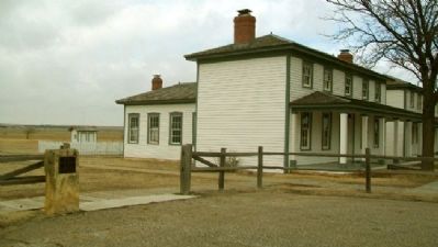
Location. 38° 51.756′ N, 99° 20.6′ W. Marker is in Hays, Kansas, in Ellis County. Marker is on the grounds of Fort Hays State Historic Site, off US Hwy 163 Alternate. Touch for map. Marker is at or near this postal address: 1472 US Highway 163 Alternate, Hays KS 67601, United States of America. Touch for directions.
Other nearby markers. At least 8 other markers are within walking distance of this marker. Enlisted Barracks (a few steps from this marker); Officers' Row (a few steps from this marker); Parade Ground (a few steps from this marker); Fort Hays (within shouting distance of this marker); Garden (within shouting distance of this marker); Elizabeth Bacon Custer (within shouting distance of this marker); Outhouses (within shouting distance of this marker); Post Hospital (within shouting distance of this marker). Touch for a list and map of all markers in Hays.
Related marker. Click here for another marker that is related to this marker.
Also see . . .
1. Fort Hays-Fort Dodge Trail, Kansas. legends of America website entry (Submitted on May 22, 2023, by Larry Gertner of New York, New York.)
2. Fort Hays State Historic Site. Kansas Historical Society website entry (Submitted on September 23, 2012, by William Fischer, Jr. of Scranton, Pennsylvania.)
Credits. This page was last revised on May 22, 2023. It was originally submitted on September 23, 2012, by William Fischer, Jr. of Scranton, Pennsylvania. This page has been viewed 575 times since then and 24 times this year. Photos: 1, 2, 3. submitted on September 23, 2012, by William Fischer, Jr. of Scranton, Pennsylvania.


