Marker Logo HMdb.org THE HISTORICAL
MARKER DATABASE
“Bite-Size Bits of Local, National, and Global History”
Gibbonsville in Lemhi County, Idaho — The American West (Mountains)
 

Lewis and Clark


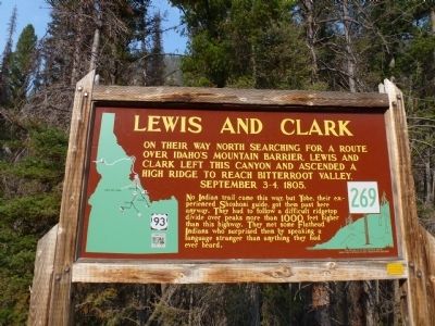
Lewis and Clark Marker image. Click for full size.
Photographed By Chris English, August 25, 2012
1. Lewis and Clark Marker
Inscription. On their way north searching for a route over Idaho's mountain barrier, Lewis and Clark left this canyon and ascended a high ridge to reach Bitterroot Valley, September 3-4, 1805. No Indian trail came this way, but Tobe, their experienced Shoshoni guide, got them past here anyway. They had to follow a difficult ridgetop divide over peaks more than 1000 feet higher than this highway. They met some Flathead Indians who surprised them by speaking a language stranger than anything they had ever heard.
 
Erected by Idaho Historical Society and Idaho Transportation Department. (Marker Number 269.)
 
Topics and series. This historical marker is listed in these topic lists: ExplorationNative Americans. In addition, it is included in the Idaho State Historical Society, and the Lewis & Clark Expedition series lists. A significant historical year for this entry is 1805.
 
Location. 45° 39.578′ N, 113° 58.558′ W. Marker is in Gibbonsville, Idaho, in Lemhi County. Marker is on U.S. 93 at milepost 345, on the right when traveling north. This marker is located on the east side of the road as U.S. 93 climbs switchbacks out of Idaho to Lolo Pass and Montana. Touch for map. Marker is in this post office area: Gibbonsville ID 83463, United States of America. Touch for directions.
 
Other nearby markers. At least 8 other markers are within 10 miles of this marker, measured
Paid Advertisement
Click on the ad for more information.
Please report objectionable advertising to the Editor.
Click or scan to see
this page online
as the crow flies. Lost Trail Pass (approx. 2.2 miles away); Jerry Fahey’s Cutoff (approx. 2.2 miles away); Which Way Did Lewis & Clark Go? (approx. 2.7 miles away in Montana); Salmon River Scenic Byway (approx. 2.7 miles away in Montana); Deep Creek (approx. 4.7 miles away); Natural Travel Corridor (approx. 7.9 miles away in Montana); Gibbonsville (approx. 8.4 miles away); A Story of Fires... to be continued (approx. 9˝ miles away in Montana). Touch for a list and map of all markers in Gibbonsville.
 
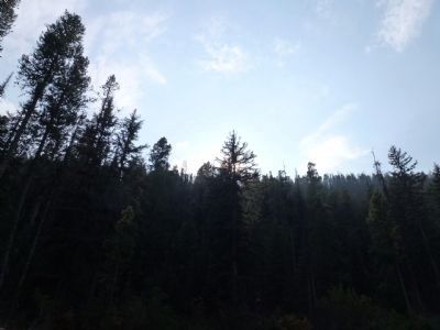
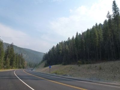
View East from the Lewis and Clark Marker image. Click for full size.
Photographed By Chris English, August 25, 2012
2. View East from the Lewis and Clark Marker
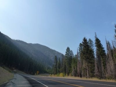
View South from the Lewis and Clark Marker image. Click for full size.
Photographed By Chris English, September 25, 2012
3. View South from the Lewis and Clark Marker
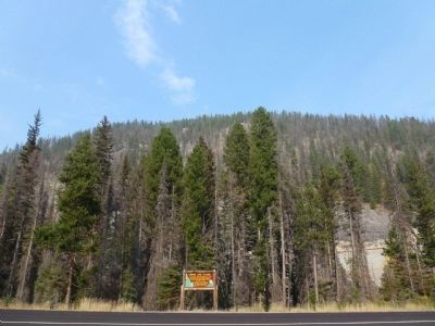
View West from the Lewis and Clark Marker image. Click for full size.
Photographed By Chris English, August 25, 2012
4. View West from the Lewis and Clark Marker
Lewis and Clark Marker image. Click for full size.
Photographed By Chris English, August 25, 2012
5. Lewis and Clark Marker
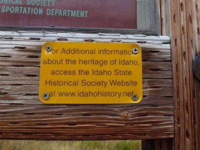
Idaho Historical Society Information found on every IDOT/IHS marker image. Click for full size.
Photographed By Chris English, September 25, 2012
6. Idaho Historical Society Information found on every IDOT/IHS marker
 
 
Credits. This page was last revised on October 21, 2020. It was originally submitted on September 26, 2012, by Chris English of Phoenix, Arizona. This page has been viewed 770 times since then and 27 times this year. Photos:   1, 2, 3, 4, 5. submitted on September 26, 2012, by Chris English of Phoenix, Arizona.   6. submitted on September 30, 2012, by Chris English of Phoenix, Arizona. • Bill Pfingsten was the editor who published this page.
Share this page.  
Share on Tumblr
m=59798

CeraNet Cloud Computing sponsors the Historical Marker Database.
This website earns income from purchases you make after using our links to Amazon.com. We appreciate your support.
Paid Advertisement
May. 4, 2024