Near Broad Run in Fauquier County, Virginia — The American South (Mid-Atlantic)
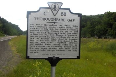
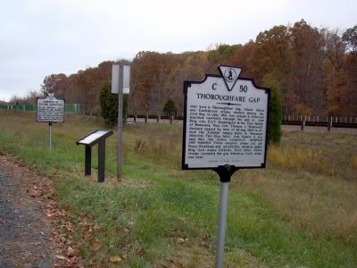
Thoroughfare Gap
Erected 1995 by Department of Historic Resources. (Marker Number C-50.)
Topics and series. This historical marker is listed in this topic list: War, US Civil. In addition, it is included in the Virginia Department of Historic Resources (DHR) series list. A significant historical month for this entry is July 1861.
Location. 38° 49.412′ N, 77° 42.652′ W. Marker is near Broad Run, Virginia, in Fauquier County. Marker is at the intersection of John Marshall Highway (Virginia Route 55) and Beverleys Mills Road, on the right when traveling west on John Marshall Highway. Touch for map. Marker is in this post office area: Broad Run VA 20137, United States of America. Touch for directions.
Other nearby markers. At least 8 other markers are within 2 miles of this marker, measured as the crow flies. A different marker also named Thoroughfare Gap (here, next to this marker); Campaign of Second Manassas (a few steps from this marker); Chapman's Mill (approx. ¼ mile away); Bull Run Mountains Natural Area Preserve (approx. ¼ mile away); Heflin's Store (approx. 1.1 miles away); Free People Of Color At Thoroughfare (approx. 1.9 miles away); The Thoroughfare Colored / North Fork School (approx. 2 miles away); Water Fowl And Their Habitat (approx. 2 miles away). Touch for a list and map of all markers in Broad Run.
More about this marker. This marker replaced an older marker with the same title and number. That marker read Five miles northwest is Thoroughfare Gap in the Bull Run Mountains. Through this gap J. E. Johnston and Jackson came, July 19, 1861, on their way to the First Battle of Manassas. Through it Lee sent Jackson, August 26, 1862, and followed with Longstreet to take part in the Second Battle of Manassas. The older marker was erected in Gainesville, in Prince William County, at Route 55's intersection with US 29, but was missing by 1985.
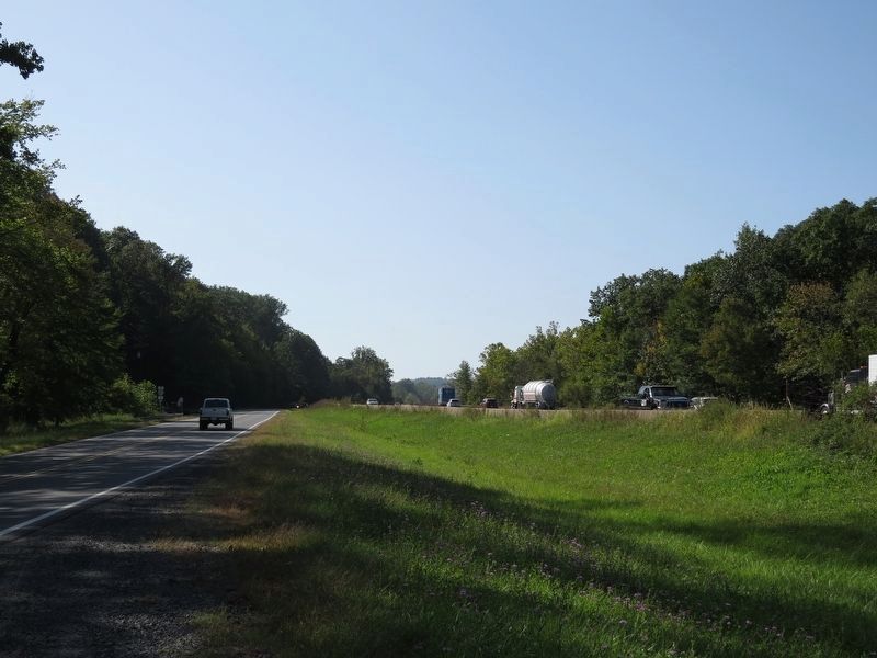
Regarding Thoroughfare Gap. From Carl G. Moore Jr.: I see that the sender of photo 3 is from nearby Gainesville, but I am seeing VA 55 at left and I-66 at right, and VA 55 is south of I-66 here and (according to map) the railroad is to north of I-66 here. North here is to right, not to left. I have driven VA 55 and I-66 between US 15 and The Plains several times.
Related markers. Click here for a list of markers that are related to this marker. Thoroughfare Gap Markers
Also see . . . Harper's Weekly, November 29, 1862. Steel cut illustrations of Thoroughfare Cut and other contemporary Union Civil War scenes as well as articles on the progress of the war. (Submitted on October 10, 2006.)
Credits. This page was last revised on May 1, 2021. It was originally submitted on October 9, 2006. This page has been viewed 5,092 times since then and 71 times this year. Last updated on February 24, 2021. Photos: 1. submitted on October 9, 2006, by Roger Dean Meyer of Yankton, South Dakota. 2. submitted on October 31, 2009, by J. J. Prats of Powell, Ohio. 3. submitted on September 19, 2017, by Samuel Paik of Gainesville, Virginia. • Bill Pfingsten was the editor who published this page.


