West Mifflin in Allegheny County, Pennsylvania — The American Northeast (Mid-Atlantic)
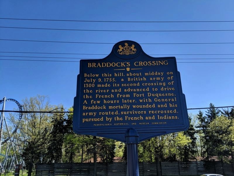
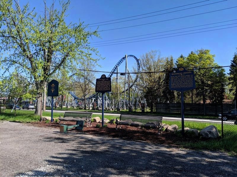
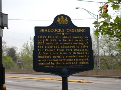
Braddock’s Crossing
Erected 1964 by Pennsylvania Historical and Museum Commission.
Topics and series. This historical marker is listed in this topic list: War, French and Indian. In addition, it is included in the Pennsylvania Historical and Museum Commission series list. A significant historical month for this entry is July 1856.
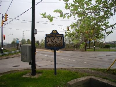
Location. 40° 23.109′ N, 79° 51.821′ W. Marker is in West Mifflin, Pennsylvania, in Allegheny County. Marker is at the intersection of North Duquesne Boulevard (Pennsylvania Route 837) and Hoffman Boulevard, on the right when traveling north on North Duquesne Boulevard. Touch for map. Marker is in this post office area: Duquesne PA 15110, United States of America. Touch for directions.
Other nearby markers. At least 8 other markers are within walking distance of this marker. Kennywood Park (here, next to this marker); Frederick Ingersoll (a few steps from this marker); The Windmill (about 600 feet away, measured in a direct line); George Was Here (about 700 feet away); Andrew Stephen McSwigan (approx. 0.2 miles away); a different marker also named Braddock's Crossing (approx. 0.2 miles away); The Pagoda (approx. 0.2 miles away); The Kenny Fountain (approx. 0.2 miles away). Touch for a list and map of all markers in West Mifflin.
Also see . . . Braddock's Crossing - Behind the Marker. (Submitted on July 7, 2011, by Mike Wintermantel of Pittsburgh, Pennsylvania.)
Additional keywords. Battle of Monongahela
Credits. This page was last revised on December 13, 2020. It was originally submitted on March 12, 2008, by Bryan Olson of Syracuse, New York. This page has been viewed 3,011 times since then and 79 times this year. Photos: 1, 2. submitted on April 27, 2019, by Mike Wintermantel of Pittsburgh, Pennsylvania. 3, 4, 5. submitted on March 12, 2008, by Bryan Olson of Syracuse, New York. • Christopher Busta-Peck was the editor who published this page.


