South Bend in St. Joseph County, Indiana — The American Midwest (Great Lakes)
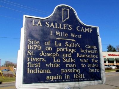
La Salle's Camp
1 Mile West
Erected by National Society of the Colonial Dames of America in the State of Indiana. (Marker Number 71.19??.1.)
Topics and series. This historical marker is listed in these topic lists: Colonial Era • Exploration. In addition, it is included in the Indiana Historical Bureau Markers, and the The Colonial Dames of America, National Society of series lists. A significant historical year for this entry is 1679.
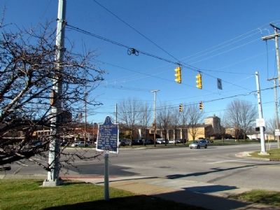
Location. 41° 43.815′ N, 86° 15.026′ W. Marker is in South Bend, Indiana, in St. Joseph County. Marker is at the intersection of State Road 933 and Darden Rd, on the right when traveling north on State Road 933. Touch for map. Marker is at or near this postal address: 19730 Darden Rd, South Bend IN 46637, United States of America. Touch for directions.
Other nearby markers. At least 8 other markers are within 2 miles of this marker, measured as the crow flies. Riehle Playing Field (approx. 1.9 miles away); Robert Rene Cavalier Sieur DeLaSalle (approx. 1.9 miles away); Thomas A. Dooley, M.D. '48 (approx. 2 miles away); World War I Memorial (approx. 2 miles away); Chaplain Corby of Gettysburg (approx. 2 miles away); From a Letter of The Rev. Edward Sorin, CSC (approx. 2 miles away); Old College (approx. 2 miles away); Vetville (approx. 2 miles away). Touch for a list and map of all markers in South Bend.
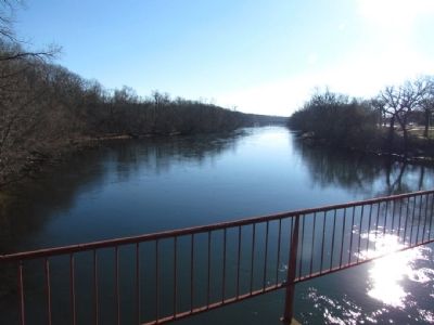
Regarding La Salle's Camp. The St. Joseph River, one mile west of the marker, can be viewed at an Indiana Department of Natural Resources boat put-in park on Riverside Drive just south of Darden Road.
Credits. This page was last revised on June 16, 2016. It was originally submitted on December 13, 2012, by Duane Hall of Abilene, Texas. This page has been viewed 1,072 times since then and 68 times this year. Photos: 1, 2, 3. submitted on December 13, 2012, by Duane Hall of Abilene, Texas. • Bill Pfingsten was the editor who published this page.


