Near Shepherdstown in Jefferson County, West Virginia — The American South (Appalachia)
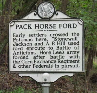
Pack Horse Ford
Erected 1993 by West Virginia Department ot Culture and History.
Topics and series. This historical marker is listed in these topic lists: Settlements & Settlers • War, US Civil. In addition, it is included in the West Virginia Archives and History series list.
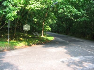
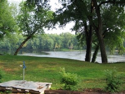
Location. 39° 25.668′ N, 77° 46.728′ W. Marker is near Shepherdstown, West Virginia, in Jefferson County. Marker is at the intersection of River Road (County Route 17/1) and Trough Road (County Route 31/1), on the left when traveling west on River Road. Touch for map. Marker is in this post office area: Shepherdstown WV 25443, United States of America. Touch for directions.
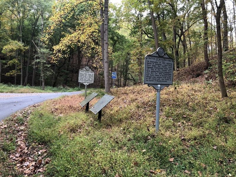
Other nearby markers. At least 8 other markers are within walking distance of this marker. Boteler’s Ford Tablet B. F. 1 (here, next to this marker); Boteler’s Ford Tablet B. F. 3 (a few steps from this marker); Boteler’s Ford Tablet B. F. 2 (a few steps from this marker); Battle of Boteler's Ford (a few steps from this marker); Shepherdstown Battlefield Preservation Association (within shouting distance of this marker); Battle of Shepherdstown (about 600 feet away, measured in a direct line); Barnes' Brigade (about 600 feet away); 118th Pennsylvania Infantry (about 700 feet away). Touch for a list and map of all markers in Shepherdstown.
Related markers. Click here for a list of markers that are related to this marker. To better understand the relationship, study each marker in the order shown.
Additional keywords. Confederate Generals Robert E. Lee and Ambrose Powell Hill
Credits. This page was last revised on October 12, 2020. It was originally submitted on August 1, 2007, by Craig Swain of Leesburg, Virginia. This page has been viewed 3,153 times since then and 30 times this year. Last updated on January 23, 2013, by David Graff of Halifax, Nova Scotia. Photos: 1. submitted on January 23, 2013, by David Graff of Halifax, Nova Scotia. 2. submitted on August 1, 2007, by Craig Swain of Leesburg, Virginia. 3. submitted on October 12, 2020, by Devry Becker Jones of Washington, District of Columbia. 4. submitted on August 1, 2007, by Craig Swain of Leesburg, Virginia.


