Pacific Grove in Monterey County, California — The American West (Pacific Coastal)
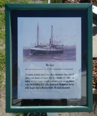
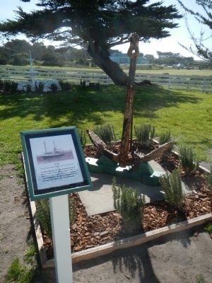
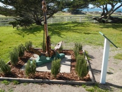
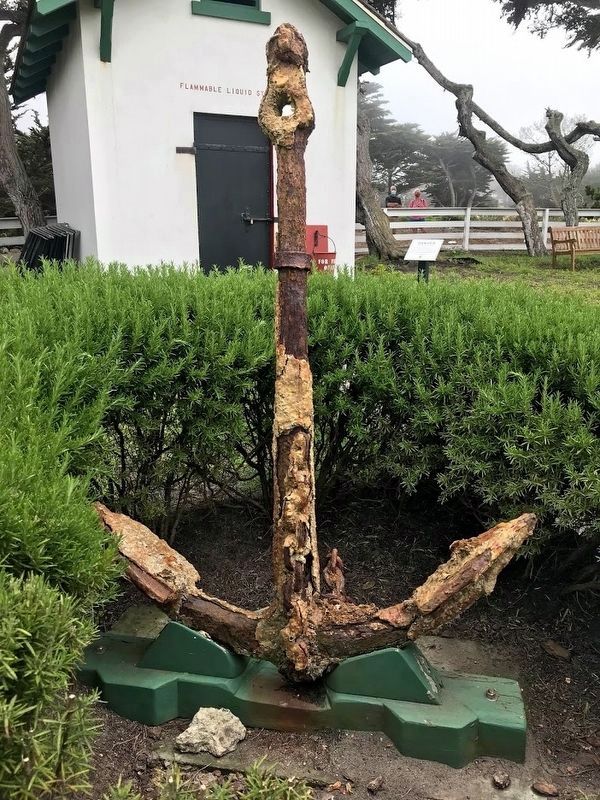
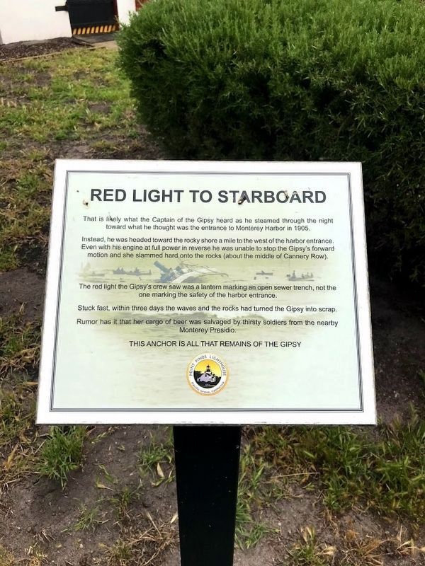
The Gipsy
Topics. This historical marker is listed in this topic list: Waterways & Vessels. A significant historical month for this entry is September 1870.
Location. 36° 38.002′ N, 121° 56.026′ W. Marker is in Pacific Grove, California, in Monterey County. Marker can be reached from the intersection of Asilomar Boulevard and Lighthouse Avenue, on the right when traveling south. This marker is located on the grounds of the Point Pinos Lighthouse which is a short walk from the parking lot just off of Asilomar Boulevard. Touch for map. Marker is at or near this postal address: 60 Asilomar Boulevard, Pacific Grove CA 93950, United States of America. Touch for directions.
Other nearby markers. At least 8 other markers are within 2 miles of this marker, measured as the crow flies. Point Pinos Lighthouse Oil House (within shouting distance of this marker); John Denver (approx. 0.3 miles away); Balance Lost and Found Again (approx. one mile away); Asilomar State Beach and Conference Grounds (approx. one mile away); Glass Bottom Boat (approx. 1.1 miles away); Gosby House Inn (approx. 1.1 miles away); Centrella Hotel (approx. 1.1 miles away); Chautauqua Hall (approx. 1.2 miles away). Touch for a list and map of all markers in Pacific Grove.
Credits. This page was last revised on June 29, 2021. It was originally submitted on March 10, 2013, by Barry Swackhamer of Brentwood, California. This page has been viewed 472 times since then and 9 times this year. Photos: 1, 2, 3. submitted on March 10, 2013, by Barry Swackhamer of Brentwood, California. 4, 5. submitted on June 14, 2021, by Diane Phillips of Pittsburg, California. • Syd Whittle was the editor who published this page.
