Downtown in Rochester in Monroe County, New York — The American Northeast (Mid-Atlantic)
Broad Street
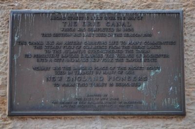
Erected 1929 by State of New York, the Colony of New England Women of Rochester and the Rochester Historical Society.
Topics. This historical marker is listed in this topic list: Waterways & Vessels. A significant historical year for this entry is 1919.
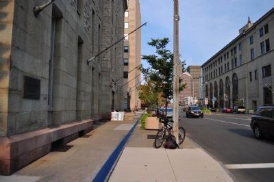
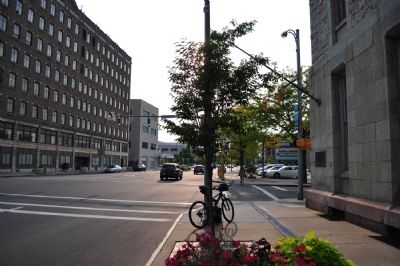
Location. 43° 9.262′ N, 77° 36.808′ W. Marker is in Rochester, New York, in Monroe County. It is in Downtown. Marker is at the intersection of West Broad Street (New York State Route 31) and Fitzhugh Street, on the right when traveling west on West Broad Street. Touch for map. Marker is in this post office area: Rochester NY 14614, United States of America. Touch for directions.
Other nearby markers. At least 8 other markers are within walking distance of this marker. The 100 Acre Tract (a few steps from this marker); Pioneer School (within shouting distance of this marker); County of Monroe (about 300 feet away, measured in a direct line); City of Rochester (about 400 feet away); St. Luke's Episcopal Church (about 400 feet away); Tavern of Silvius Hoard (about 400 feet away); Early Education (about 400 feet away); Monroe County (about 400 feet away). Touch for a list and map of all markers in Rochester.
Credits. This page was last revised on February 16, 2023. It was originally submitted on March 29, 2013, by Yugoboy of Rochester, New York. This page has been viewed 449 times since then and 33 times this year. Photos: 1, 2, 3. submitted on March 29, 2013, by Yugoboy of Rochester, New York. • Bill Pfingsten was the editor who published this page.


