Somers Point in Atlantic County, New Jersey — The American Northeast (Mid-Atlantic)
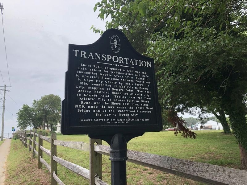
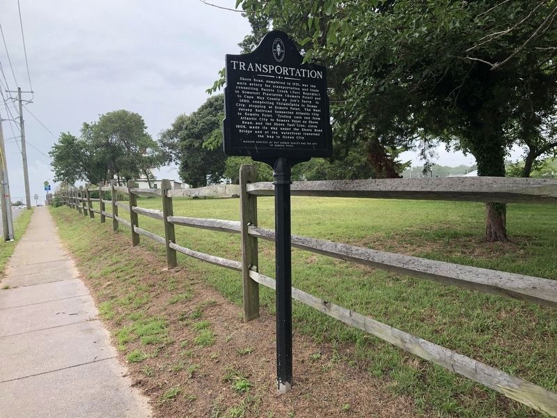
Transportation
Erected by Bay Harbor Realty and the City of Somers Point.
Topics. This historical marker is listed in these topic lists: Railroads & Streetcars • Roads & Vehicles. A significant historical year for this entry is 1731.
Location. 39° 18.618′ N, 74° 35.868′ W. Marker is in Somers Point, New Jersey, in Atlantic County. Marker is at the intersection of Shore Road and Annie Avenue on Shore Road. Touch for map. Marker is in this post office area: Somers Point NJ 08244, United States of America. Touch for directions.
Other nearby markers. At least 8 other markers are within walking distance of this marker. Getting Around Somers Point (within shouting distance of this marker); Somers Mansion (within shouting distance of this marker); Bay Avenue Night Life (about 600 feet away, measured in a direct line); The Anchorage (approx. 0.2 miles away); World War Memorial Bridge (approx. 0.2 miles away); Somers Point World War I Memorial (approx. 0.2 miles away); Somers Point World War II Memorial (approx. 0.2 miles away); Somers Point World War I Monument (approx. 0.2 miles away). Touch for a list and map of all markers in Somers Point.
Credits. This page was last revised on July 26, 2020. It was originally submitted on April 10, 2013, by Don Morfe of Baltimore, Maryland. This page has been viewed 499 times since then and 7 times this year. Photos: 1, 2. submitted on July 26, 2020, by Devry Becker Jones of Washington, District of Columbia. • Bill Pfingsten was the editor who published this page.

