Downtown in Rochester in Monroe County, New York — The American Northeast (Mid-Atlantic)
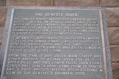
The Genesee River
It meanders northward to Rochester, where it feeds the Barge Canal, laps the shores of Genesee Valley Park and the University of Rochester's River Campus and extends north to the Couth Street Dam.
From the dam, it dips under Main Street and other bridges to plunge over the 96-foot Upper Falls and two lower falls, then flows gently past Seneca Park. Views from 13 traffic and 5 foot bridges afford Rochestarians a view of the Genesee's dramatic path.
Topics. This historical marker is listed in this topic list: Waterways & Vessels.
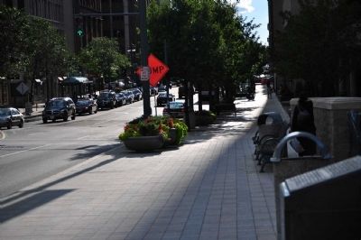
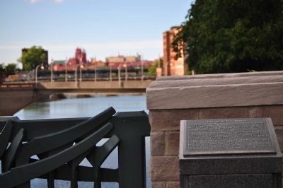
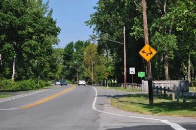
Location. 43° 9.373′ N, 77° 36.6′ W. Marker is in Rochester, New York, in Monroe County. It is in Downtown. Marker is on Main Street, ¼ mile west of St. Paul Street, on the right when traveling east. Touch for map. Marker is in this post office area: Rochester NY 14604, United States of America. Touch for directions.
Other nearby markers. At least 8 other markers are within walking distance of this marker. Erie Canal (here, next to this marker); Main Street Bridge (a few steps from this marker); From Hunting Ground to City (within shouting distance of this marker); Early Mills and Races (within shouting distance of this marker); Front Street (within shouting distance of this marker); Austin Steward 1793-1869 (about 300 feet away, measured in a direct line); Granite Building (about 300 feet away); Historic Site in Journalism (about 500 feet away). Touch for a list and map of all markers in Rochester.
More about this marker. Marker cannot be read from the road - grey metal marker on grey granite pedestal with grey raised lettering.
Credits. This page was last revised on February 16, 2023. It was originally submitted on April 18, 2013, by Yugoboy of Rochester, New York. This page has been viewed 450 times since then and 24 times this year. Photos: 1, 2, 3, 4. submitted on April 18, 2013, by Yugoboy of Rochester, New York. • Bill Pfingsten was the editor who published this page.


