Corinth in Alcorn County, Mississippi — The American South (East South Central)
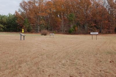
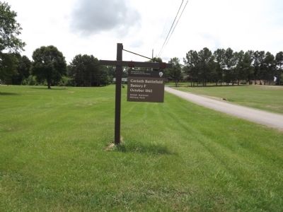
Battle of Corinth Battery F
1st. Day, October 3, 1862
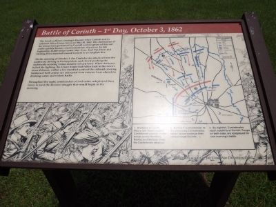
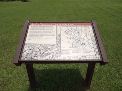
On the morning of October 3, the Confederates attacked from the northwest, driving in Union pickets and slowly pushing the stubbornly resisting Union infantry toward town. When darkness halted the fighting the Union troops had fallen back to the town's inner defense, within a few hundred yards of the railroad crossing. Soldiers of both armies lay exhausted from extreme heat, almost no drinking water, and violent battle.
Throughout the night, commanders of both sides redeployed forces to meet the decisive struggle that would begin in the morning.
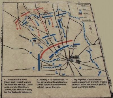
Captions to battle map:
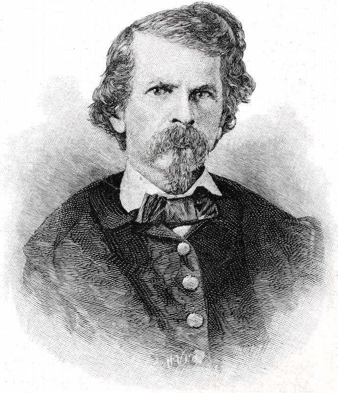
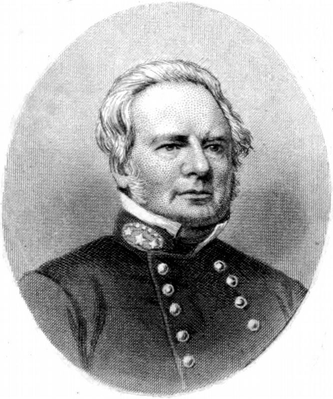
1. Divisions of Lovell, Maury and Hebert launch Confederate assault. Union troops under Hamilton, Davies and McKean delay the Confederate advance.
2. Battery F is abandoned to the advancing Confederates. Union forces continue their retreat toward Corinth.
3. By nightfall, Confederates reach outskirts of Corinth. Troops on both sides are redeployed for next morning´s battle.
Topics. This historical marker is listed in this topic list: War, US Civil. A significant historical month for this entry is May 1920.
Location. 34° 56.874′ N, 88° 33.148′ W. Marker is in Corinth, Mississippi, in Alcorn County. Marker is at the intersection of Bitner Road and Scenic Lake Drive, on the right when traveling north on Bitner Road. Touch for map. Marker is in this post office area: Corinth MS 38834, United States of America. Touch for directions.
Other nearby markers. At least 8 other markers are within 2 miles of this marker, measured as the crow flies. Retreat From Battery F (a few steps from this marker); City Cemetery (approx. 1.4 miles away); Texas Memorial (approx. 1˝ miles away); William P. Rogers (approx. 1˝ miles away); Brigadier-General Joseph Lewis Hogg (approx. 1˝ miles away); Battle of Corinth - 1862 (approx. 1.7 miles away); Henry Cemetery (approx. 1.8 miles away); The Duncan House (approx. 1.9 miles away). Touch for a list and map of all markers in Corinth.
Credits. This page was last revised on October 4, 2020. It was originally submitted on July 13, 2013, by Ken Smith of Milan, Tennessee. This page has been viewed 873 times since then and 37 times this year. Photos: 1. submitted on July 13, 2013, by Ken Smith of Milan, Tennessee. 2. submitted on September 25, 2015, by Brandon Fletcher of Chattanooga, Tennessee. 3, 4. submitted on July 13, 2013, by Ken Smith of Milan, Tennessee. 5. submitted on September 25, 2015, by Brandon Fletcher of Chattanooga, Tennessee. 6. submitted on July 13, 2013, by Ken Smith of Milan, Tennessee. 7, 8. submitted on October 2, 2020, by Allen C. Browne of Silver Spring, Maryland. • Bill Pfingsten was the editor who published this page.
