Near Lander in Fremont County, Wyoming — The American West (Mountains)
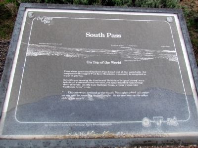
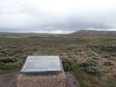
South Pass
On Top of the World
Nevertheless, crossing the Continental Divide into "Oregon Country" was a task for all westward-bound travelers, and many described their feelings about the event. In 1852 Lucy Rutledge Cooke, a young woman with "California Fever" wrote:
"... This morn we arrived at the South Pass after which all water we see will be running to the Pacific. So we are now on the other side of the world ..."
Erected by Bureau of Land Management.
Topics and series. This historical marker is listed in these topic lists: Roads & Vehicles • Settlements & Settlers. In addition, it is included in the California Trail, the Mormon Pioneer Trail, and the Oregon Trail series lists. A significant historical year for this entry is 1852.
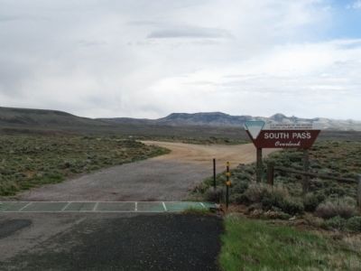
Location. 42° 19.816′ N, 108° 58.353′ W. Marker is near Lander, Wyoming, in Fremont County. Marker can be reached from State Highway 28, 0.7 miles south of Lander-Pinedale Stage Road. Marker is one of five interpretive signs at the South Pass Overlook. Touch for map. Marker is in this post office area: Lander WY 82520, United States of America. Touch for directions.
Other nearby markers. At least 8 other markers are within 5 miles of this marker, measured as the crow flies. A different marker also named South Pass (here, next to this marker); The Corridor West (a few steps from this marker); The Fur Trade (within shouting distance of this marker); The Way West (within shouting distance of this marker); Twin Mounds (within shouting distance of this marker); Pacific Springs (approx. 1.4 miles away); Narcissa Prentiss Whitman (approx. 4˝ miles away); Old Oregon Trail (approx. 4˝ miles away). Touch for a list and map of all markers in Lander.
More about this marker. Sign donated by First Security Bank of Rock Springs; Roger A. Weidner, President & CEO
Also see . . . South Pass - Wikipedia entry. (Submitted on July 25, 2013, by Duane Hall of Abilene, Texas.)
Credits. This page was last revised on June 16, 2016. It was originally submitted on July 25, 2013, by Duane Hall of Abilene, Texas. This page has been viewed 725 times since then and 36 times this year. Photos: 1, 2, 3, 4. submitted on July 25, 2013, by Duane Hall of Abilene, Texas. • Syd Whittle was the editor who published this page.


