San Gabriel in Los Angeles County, California — The American West (Pacific Coastal)
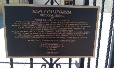
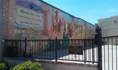
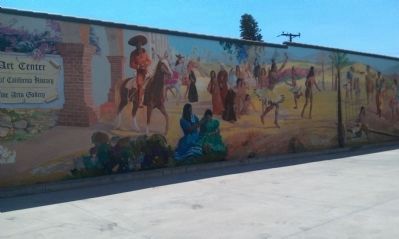
Early California
Outdoor Mural
— by artist Donald "Putt" Putman —
Putt Putman was raised in Alhambra, California and has been an artist for most of his life. He was an instructor at the Los Angeles Art Center College of Design for over 12 years. He has produced many significant works of art, including several murals. Early California is the largest and considered to be his most significant work to date.
He paints to please himself and the pleasure is contagious.
Erected 2005 by Ramona Parlor #109 Native Sons of the Golden West.
Topics and series. This historical marker is listed in these topic lists: Arts, Letters, Music • Churches & Religion • Native Americans • Settlements & Settlers. In addition, it is included in the Native Sons/Daughters of the Golden West series list. A significant historical month for this entry is June 2001.
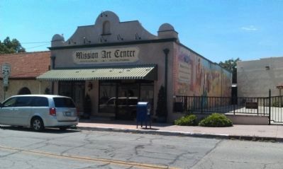
Location. 34° 5.827′ N, 118° 6.522′ W. Marker is in San Gabriel, California, in Los Angeles County. Marker is on Santa Anita Street just west of Mission Drive, on the right when traveling west. Touch for map. Marker is at or near this postal address: 609 W Santa Anita St, San Gabriel CA 91776, United States of America. Touch for directions.
Other nearby markers. At least 8 other markers are within walking distance of this marker. Ramona Museum of California History (within shouting distance of this marker); Grapevine Arbor (within shouting distance of this marker); La Casa Vieja de Lopez (within shouting distance of this marker); San Gabriel Veterans War Memorial (about 300 feet away, measured in a direct line); The Mission Playhouse (about 300 feet away); Chapman’s Mill and Millrace (about 400 feet away); Joseph Chapman’s Millrace (about 600 feet away); Mission San Gabriel Archangel / El Camino Real Door (about 600 feet away). Touch for a list and map of all markers in San Gabriel.
Credits. This page was last revised on January 30, 2023. It was originally submitted on August 4, 2013, by Denise Boose of Tehachapi, California. This page has been viewed 608 times since then and 23 times this year. Photos: 1, 2, 3, 4. submitted on August 4, 2013, by Denise Boose of Tehachapi, California. • Syd Whittle was the editor who published this page.


