Arlington Forest in Arlington County, Virginia — The American South (Mid-Atlantic)
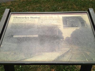
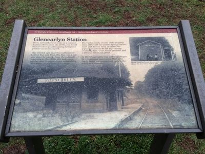
Glencarlyn Station
The Washington & Old Dominion Railroad Regional Park
Captions:
Above: Young boys beside the second Glencarlyn station, 1930s.
Below: The first station, built in 1896.
Credits: Large background photograph-Courtesy Thomas Underwood. Photograph upper right-Courtesy Arlington Historical Society. From Washington & Old Dominion Railroad by Ames W. Williams. Exhibit painting and design-Jane Henna, Leesburg, Va. This wayside exhibit was made possible through a grant from the Virginia Recreational Trails Fund Program.
Erected by Northern Virginia Regional Park Authority.
Topics and series. This historical marker is listed in these topic lists: Colonial Era • Entertainment • Railroads & Streetcars. In addition, it is included in the NOVA Parks, and the Washington and Old Dominion (W&OD) Railroad series lists. A significant historical year for this entry is 1766.
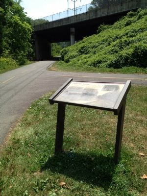
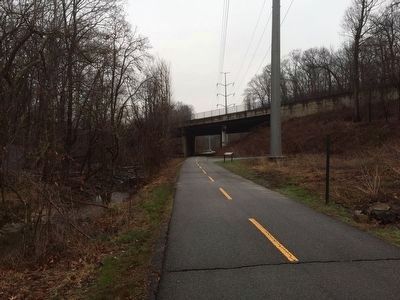
Location. 38° 52.01′ N, 77° 7.48′ W. Marker is in Arlington, Virginia, in Arlington County. It is in Arlington Forest. Marker can be reached from N. Granada Street. This marker is on the Washington & Old Dominion bike trail at the intersection with the Four Mile Run Trail, just north of the underpass beneath Arlington Boulevard. Touch for map. Marker is in this post office area: Arlington VA 22203, United States of America. Touch for directions.
Other nearby markers. At least 8 other markers are within walking distance of this marker. Carlin Springs (about 800 feet away, measured in a direct line); Mary Carlin House (approx. 0.2 miles away); Enslaved Here (approx. 0.2 miles away); John Ball House (approx. ¼ mile away); The Ball-Carlin Cemetery (approx. ¼ mile away); Carlin Community Hall (approx. ¼ mile away); Named Stones (1989) (approx. 0.4 miles away); a different marker also named Named Stones (1989) (approx. half a mile away). Touch for a list and map of all markers in Arlington.
More about this marker. The marker is incorrect in stating that the Carlin family acquired the property in 1766. In fact they acquired the property in 1772.
http://www.dhr.virginia.gov/registers/Counties/Arlington/000-0009_Ball-Sellers_House_1975_Final_Nomination.pdf
Regarding Glencarlyn Station. The "Carlin family house" referred to on this marker is marked by the nearby "John Ball House" marker.
Credits. This page was last revised on February 1, 2023. It was originally submitted on August 10, 2013, by Kevin Vincent of Arlington, Virginia. This page has been viewed 916 times since then and 59 times this year. Photos: 1. submitted on August 10, 2013, by Kevin Vincent of Arlington, Virginia. 2. submitted on March 16, 2016, by J. Makali Bruton of Accra, Ghana. 3. submitted on August 10, 2013, by Kevin Vincent of Arlington, Virginia. 4. submitted on March 16, 2016, by J. Makali Bruton of Accra, Ghana. • Bill Pfingsten was the editor who published this page.


