Clark County Hemp / Hemp in Kentucky
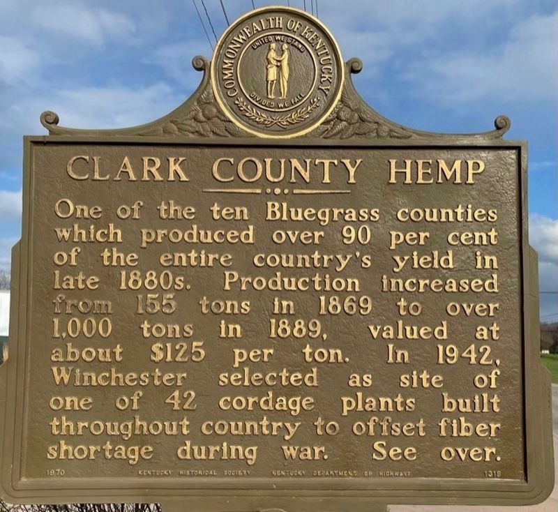
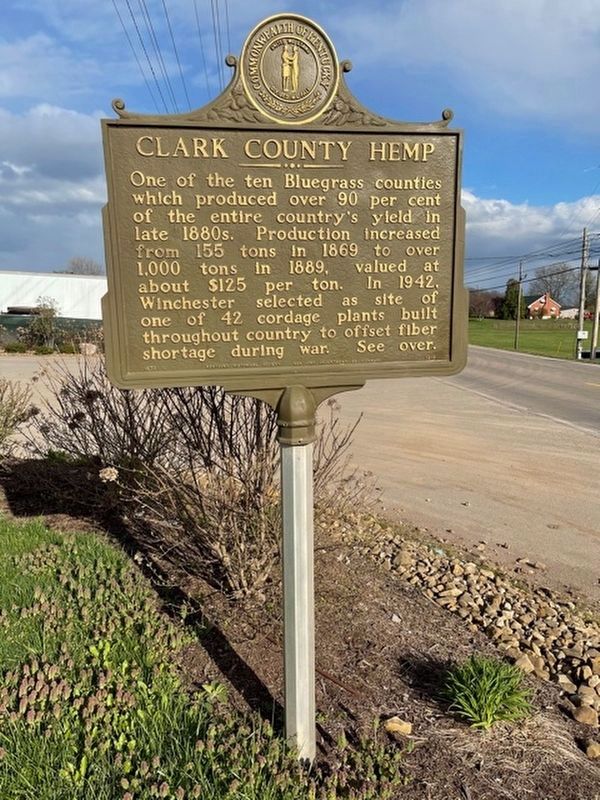
Clark County Hemp. One of the ten Bluegrass counties which produced over 90 percent of the entire country's yield in late 1800s. Production increased from 155 tons in 1869 to over 1,000 tons in 1889, valued at about $125 per ton. In 1942, Winchester selected as site of one of 42 cordage plants built throughout country to offset fiber shortage during war.
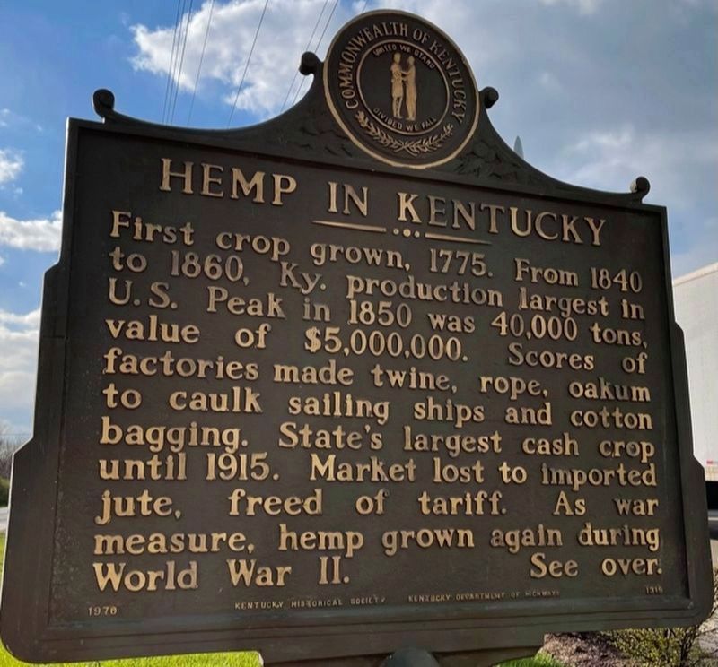
Hemp in Kentucky. First crop grown, 1775. From 1840 to 1860, Ky.'s production largest in U.S. Peak in 1850 was 40,000 tons, with value of $5,000,000. Scores of factories made twine, rope, oakum to caulk sailing ships and cotton bagging. State's largest cash crop until 1915. Market lost to imported jute, freed of tariff. As war measure, hemp grown again during World War II.
Erected 1970 by Kentucky Historical Society-Kentucky Department of Highways. (Marker Number 1319.)
Topics and series. This historical marker is listed in this topic list: Industry & Commerce. In addition, it is included in the Kentucky Historical Society series list. A significant historical year for this entry is 1869.
Location. 38° 1.686′ N, 84° 16.734′ W. Marker is near Winchester, Kentucky, in Clark County. Marker is on Lexington Road (U.S. 60) west of Clintonville Road, on the right when traveling
Other nearby markers. At least 8 other markers are within 6 miles of this marker, measured as the crow flies. East KY. Power Cooperative (approx. 1.3 miles away); Roy Stuart Cluke (approx. 1.9 miles away); Colbyville Tavern (approx. 2.6 miles away); Capt. John Strode (approx. 3.7 miles away); Capt. Isaac Cunningham (approx. 3.8 miles away); Allen Tate (1899-1978) (approx. 4.9 miles away); Daniel Boone (approx. 5.6 miles away); Homer C. Ledford (approx. 5.6 miles away). Touch for a list and map of all markers in Winchester.
Credits. This page was last revised on April 5, 2021. It was originally submitted on August 15, 2013, by Don Morfe of Baltimore, Maryland. This page has been viewed 553 times since then and 25 times this year. Last updated on April 3, 2021, by Frank Profitt of Georgetown, Kentucky. Photos: 1, 2, 3. submitted on April 3, 2021, by Frank Profitt of Georgetown, Kentucky. • Devry Becker Jones was the editor who published this page.


