East Point Lighthouse
Under Renovation by Maurice River Historical Society
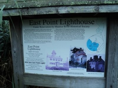
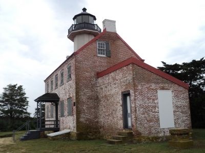
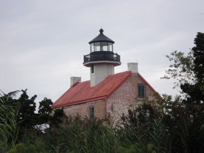
The East Point Lighthouse was built in 1849 to guide boatmen into the mouth of the Maurice River, about one half mile to the north. The lantern sits atop the two story brick building, 48 feet above sea level, and is visible for about 7 miles.
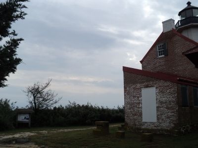
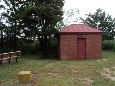
The lantern was originally lighted by a lamp that burned whale oil until kerosene became available. The fuel was stored in the oil house, which is the small brick building on your right. It was carried up the stairs to the lantern room by the keeper. The lighthouse was converted to acetylene sometime around 1910, which eliminated the need for daily maintenance. After this, a custodian was allowed to live here rent free and was paid $1 per year.
The lighthouse was decommissioned in 1941 at the beginning of World War II and was abandoned until 1971, when the Maurice River Historical Society was formed to protect and restore it.
When, in July of 1971 trespassers started a fire which destroyed the roof and the tower, the Maurice River Historical Society, through local fund-raising and volunteer help, repaired the damage. On July 2, 1980 the US Coast Guard reinstalled an automatic beacon and put the East Point Lighthouse back on the list of active navigational aids.
Beginning in 1998 the Maurice River Historical Society began major exterior rehabilitation of the lighthouse.
This work included restoring the lantern room, repointing the bricks, replacing the porch, the windows and the shutters with accurate replicas and re-installing the window in the back of the tower. A waterproofing system and a fire and burglar alarm were also installed.
Lighthouse
Open for tours
The 3rd Sunday of each month
from April to October
from 1 pm til 4 pm
--------------------
Group tours by appointment.
Tables available for craft dealers.
--------------------
Help Save East Point Light!
For More Information:
Maurice River Historical Society
PO Box 141
Heislerville, NJ 08324
[email protected]
Topics and series. This historical marker is listed in these topic lists: Communications • Waterways & Vessels. In addition, it is included in the Lighthouses series list. A significant historical month for this entry is July 1971.
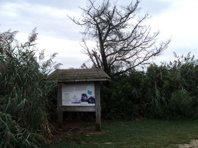
Location. 39° 11.745′ N, 75° 1.633′ W. Marker is in Heislerville, New Jersey, in Cumberland County. Marker can be reached from Lighthouse Road, 0.1 miles E Point Road, on the left when traveling west. Marker is located in front of the East Point Lighthouse. Touch for map. Marker is in this post office area: Heislerville NJ 08324, United States of America. Touch for directions.
Other nearby markers. At least 8 other markers are within 3 miles of this marker, measured as the crow flies. A Guiding Light (within shouting distance of this marker); All Shapes, Sizes and Materials (within shouting distance of this marker); Maurice River (approx. 2.6 miles away); Steps to Harvest Oysters and Bring to Market (approx. 2.6 miles away); a different marker also named Steps to Harvest Oysters and Bring to Market (approx. 2.6 miles away); The Schooner AJ Meerwald (approx. 2.6 miles away); Delaware Bay and River (approx. 2.6 miles away); Bivalve Oyster Shipping Sheds (approx. 2.6 miles away). Touch for a list and map of all markers in Heislerville.
More about this marker. A map of New Jersey appears on the right side of the marker. Detail shows the locations of lighthouses on the Delaware Bay, including East Point Lighthouse, Miah Maull Shoal Lighthouse, Fourteen Foot Bank Lighthouse, Brandywine Shoal Lighthouse and Cape May Lighthouse.
Three photographs of the East Point Lighthouse are on the bottom of the marker. They depict the lighthouse in Approximately 1900, During restoration in 1998, and After the fire in July of 1971.
Credits. This page was last revised on December 31, 2020. It was originally submitted on September 1, 2013, by Bill Coughlin of Woodland Park, New Jersey. This page has been viewed 483 times since then and 11 times this year. Photos: 1, 2, 3, 4, 5, 6. submitted on September 1, 2013, by Bill Coughlin of Woodland Park, New Jersey.
