Chesapeake City in Cecil County, Maryland — The American Northeast (Mid-Atlantic)
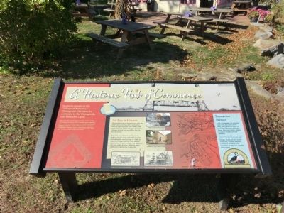
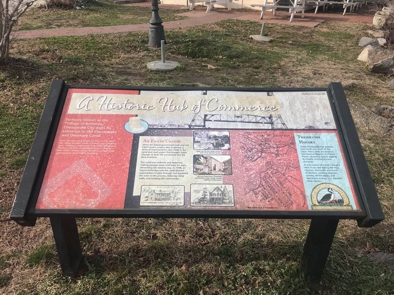
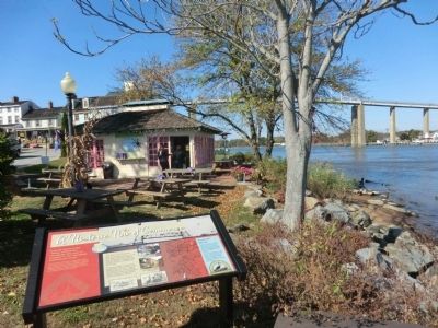
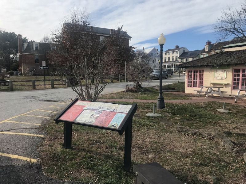
A Historic Hub of Commerce
Formerly known as the “Village of Bohemia,” Chesapeake City owes its existence to the Chesapeake and Delaware Canal.
From the time work began on the canal in 1824, the village became a hub of activity and a thriving port, creating a community of wealthy merchants, bankers, caterers, canal administrators, teachers and others. Homes, stores, warehouses and shops sprung up as canal traffic increased.
An Era of Change
When the federal government took over the C&D Canal a century after it opened, a series of improvements were made to the canal and road system that brought major changes to both the community and the local economy.
The canal was widened and deepened, making passage easier and faster for ships, eliminating the need to stop. In 1948, an improved bridge over the canal allowed supertankers to pass through, but bypassed the town in the process, reducing visitor traffic and isolating the community.
Preserving History
Today Chesapeake City extends both north and south of the canal. Many areas are listed on the National Register of Historic Places, attracting visitors seeking its historic architecture and character.
As you explore the town, imagine what it was like during the city’s heyday—the hustle and bustle of laborers, working shipmen coming off the docks and merchants as they, too, traveled these streets.
Erected by Chesapeake Country National Scenic Byway.
Topics and series. This historical marker is listed in these topic lists: Industry & Commerce • Settlements & Settlers • Waterways & Vessels. In addition, it is included in the Chesapeake & Delaware (C&D) Canal series list. A significant historical year for this entry is 1824.
Location. 39° 31.65′ N, 75° 48.684′ W. Marker is in Chesapeake City, Maryland, in Cecil County. Marker is on Bohemia Avenue, on the left when traveling east. Touch for map. Marker is in this post office area: Chesapeake City MD 21915, United States of America. Touch for directions.
Other nearby markers. At least 8 other markers are within walking distance of this marker. Byway Destinations / Chesapeake City (within shouting distance of this marker); Long Bridge (within shouting distance of this marker); Pell Gardens (within shouting distance of this marker); The Bayard House (within shouting distance of this marker); Franklin Hall (within shouting distance of this marker); Cropper House (within shouting distance of this marker); Brady-Rees House (about 300 feet away, measured in a direct line); Shipwatch Inn (about 300 feet away). Touch for a list and map of all markers in Chesapeake City.
Credits. This page was last revised on January 8, 2024. It was originally submitted on October 29, 2013, by Don Morfe of Baltimore, Maryland. This page has been viewed 480 times since then and 20 times this year. Last updated on February 9, 2020, by Carl Gordon Moore Jr. of North East, Maryland. Photos: 1. submitted on October 29, 2013, by Don Morfe of Baltimore, Maryland. 2. submitted on January 10, 2022, by Adam Margolis of Mission Viejo, California. 3. submitted on October 29, 2013, by Don Morfe of Baltimore, Maryland. 4. submitted on January 10, 2022, by Adam Margolis of Mission Viejo, California. • Bill Pfingsten was the editor who published this page.


